Calumet Heights, Chicago
Map
Facts and practical information
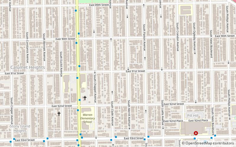
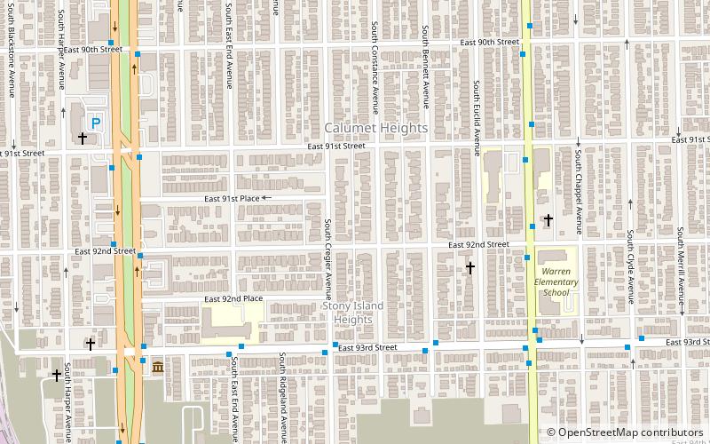
Calumet Heights, located on the South Side of the city, is one of the 77 well defined community areas of Chicago, Illinois. Calumet Heights is bounded by 87th Street on the north, South Chicago Avenue on the east, and railroad lines on the west and south. ()
Address
Far Southeast Side (Calumet Heights)Chicago
ContactAdd
Social media
Add
Getting there by public transportation
Public transportation stops near this location
- Bus
- Train
 Bus
Bus
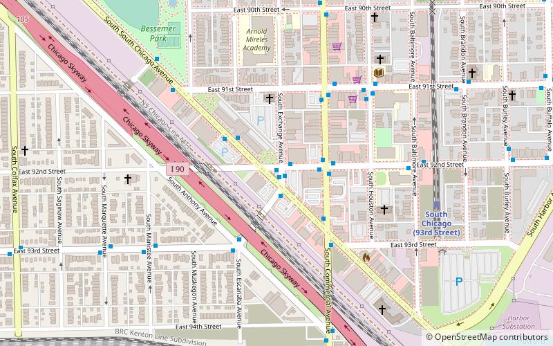
- Calculate routeJeffery & 91st Street 4 min walk
- Calculate routeJeffery & 92nd Street 5 min walk
- Calculate route93rd Street & Clyde 7 min walk
- Calculate route83rd Street 40 min walk
Maps Rail "L"
Rail "L"Day trips


Frequently Asked Questions (FAQ)
Which popular attractions are close to Calumet Heights?
Nearby attractions include Stony Island Avenue, Chicago (10 min walk), Bronzeville Children's Museum, Chicago (18 min walk), Bessemer Park, Chicago (21 min walk).
How to get to Calumet Heights by public transport?
The nearest stations to Calumet Heights:
Bus
Train
Bus
- Jeffery & 91st Street • Lines: 15, J14 (4 min walk)
- Jeffery & 92nd Street • Lines: 15 (5 min walk)
Train
- 83rd Street (40 min walk)