Dominion Boulevard Steel Bridge, Chesapeake
Map
Facts and practical information
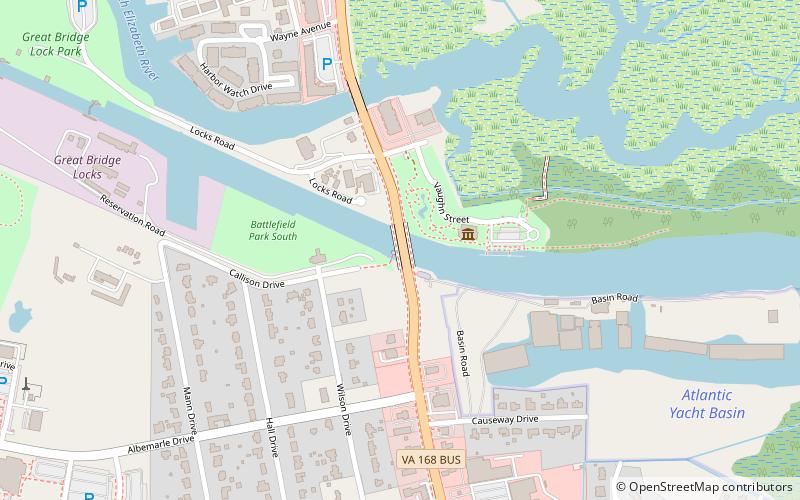
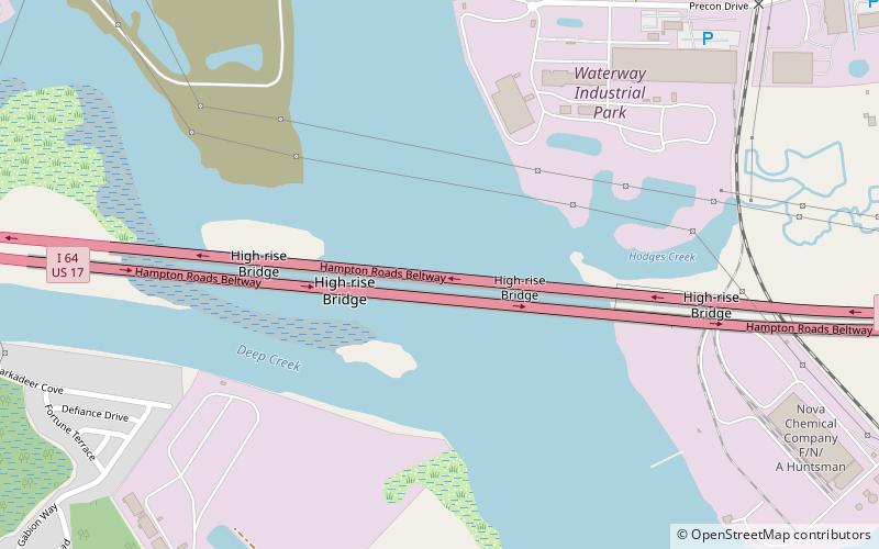
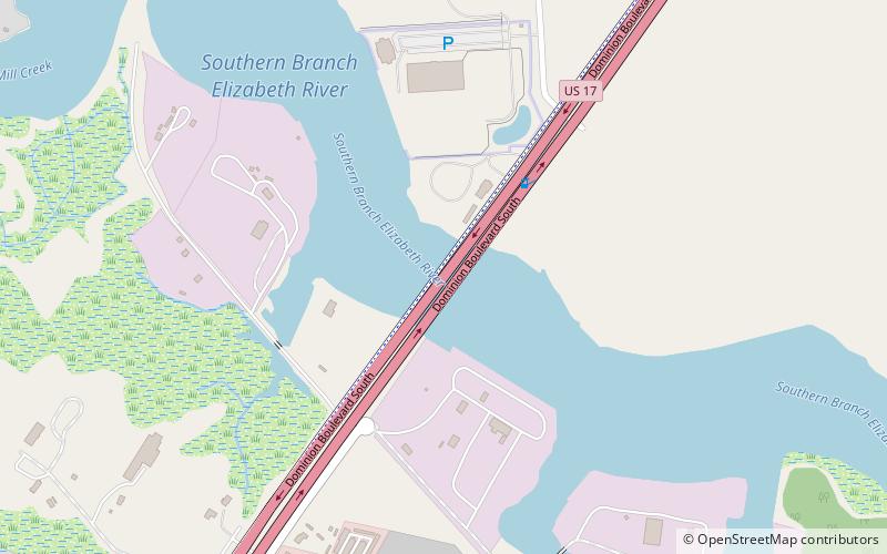
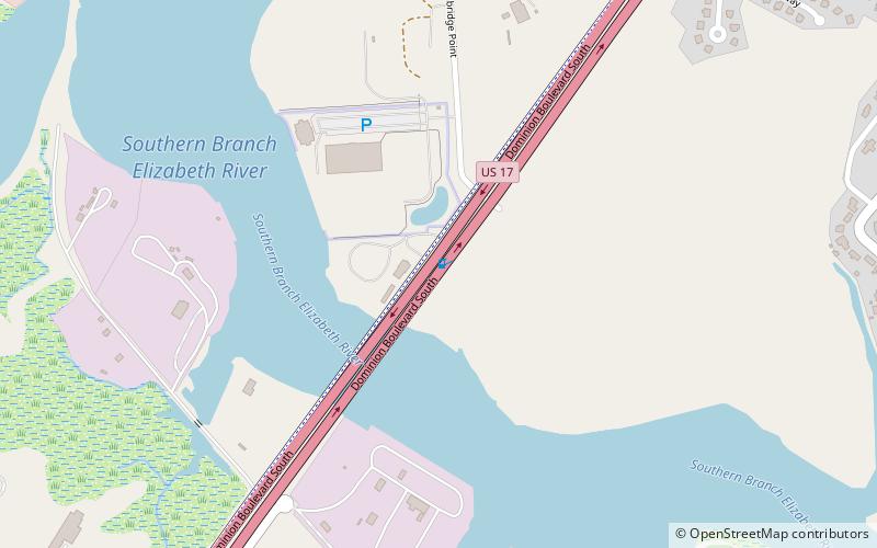
Dominion Boulevard Steel Bridge was a double-leaf bascule, two-lane drawbridge which spanned the Southern Branch Elizabeth River in the City of Chesapeake in South Hampton Roads in southeastern Virginia. Built in 1962 and operated by the City of Chesapeake, it carried U.S. Route 17 which is Dominion Boulevard. The corridor frequently acts as a bypass route for congested I-64 High Rise Bridge traffic. ()
Length: 552 ftWidth: 28 ftCoordinates: 36°44'16"N, 76°17'36"W
Day trips
Dominion Boulevard Steel Bridge – popular in the area (distance from the attraction)
Nearby attractions include: Bethany Baptist Church, Jordan Bridge, Chesapeake Arboretum, Bide-A-Wee Golf Course.


