Gilmerton Bridge, Chesapeake
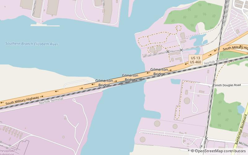
Map
Facts and practical information
The Gilmerton Bridge, originally a twin bascule drawbridge, is now a vertical-lift bridge which spans the Southern Branch Elizabeth River in the City of Chesapeake in South Hampton Roads in southeastern Virginia. Completed in 1938, it carries U.S. Route 13 and US 460 and is part of Military Highway. The Gilmerton Bridge is operated by the City of Chesapeake. ()
Coordinates: 36°46'31"N, 76°17'43"W
Address
2719-2799 S Military HwySouth NorfolkChesapeake 23323
ContactAdd
Social media
Add
Day trips
Gilmerton Bridge – popular in the area (distance from the attraction)
Nearby attractions include: Bethany Baptist Church, Jordan Bridge, Chesapeake Arboretum, Commodore Theatre.


