East Newark, Newark
Map

Map

Facts and practical information
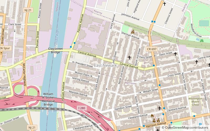
East Newark is a borough in the western part of Hudson County, New Jersey, United States. It is a suburb of the nearby city of Newark. The borough is the second-smallest municipality by total area in the state. ()
Day trips
East Newark – popular in the area (distance from the attraction)
Nearby attractions include: Red Bull Arena, New Jersey Performing Arts Center, The Newark Museum of Art, Bridge Street Bridge.
Frequently Asked Questions (FAQ)
Which popular attractions are close to East Newark?
Nearby attractions include Clark Thread Company Historic District, Newark (4 min walk), Clay Street Bridge, Newark (7 min walk), William A. Stickel Memorial Bridge, Newark (8 min walk), Newark Drawbridge, Newark (8 min walk).
How to get to East Newark by public transport?
The nearest stations to East Newark:
Light rail
Train
Metro
Bus
Light rail
- Riverfront Stadium • Lines: Nlr (14 min walk)
- Atlantic Street • Lines: Nlr (15 min walk)
Train
- Newark Broad Street (15 min walk)
- Newark Penn Station (28 min walk)
Metro
- Harrison • Lines: Nwk–Wtc (21 min walk)
- Newark Penn Station • Lines: Nwk–Wtc (28 min walk)
Bus
- Newark Penn Bus Terminal (28 min walk)
- Newark Penn Station • Lines: 62 (28 min walk)


