Embarcadero, San Francisco
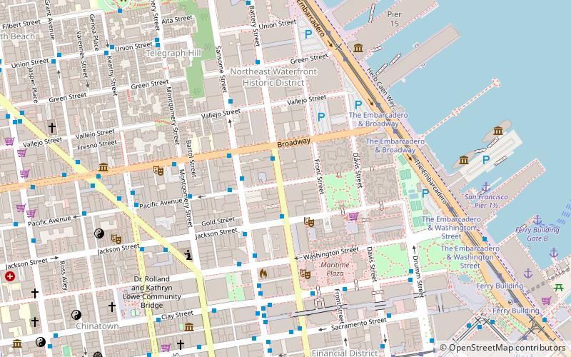
Map
Gallery
Facts and practical information
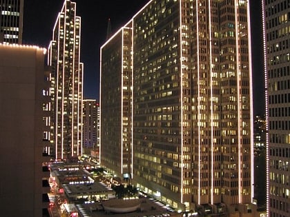
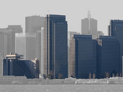
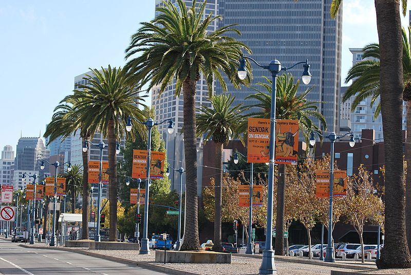
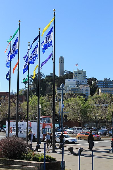
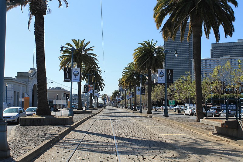
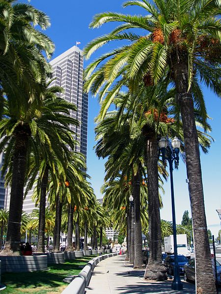
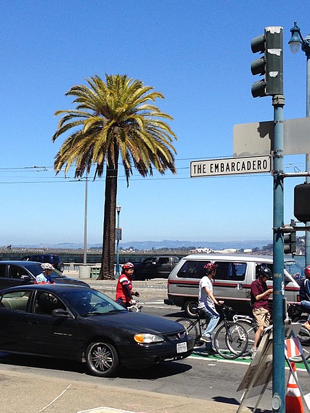
The Embarcadero is the eastern waterfront and roadway of the Port of San Francisco, San Francisco, California, along San Francisco Bay. It was constructed on reclaimed land along a three mile long engineered seawall, from which piers extend into the bay. It derives its name from the Spanish verb embarcar, meaning "to embark"; embarcadero itself means "the place to embark". The Central Embarcadero Piers Historic District was added to the National Register of Historic Places on November 20, 2002. ()
Day trips
Embarcadero – popular in the area (distance from the attraction)
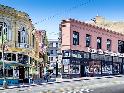
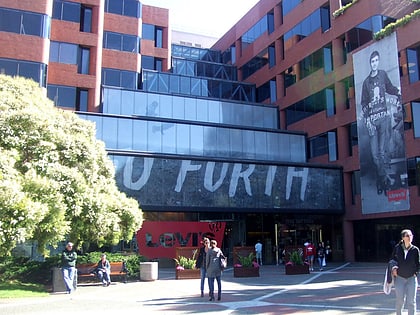
Nearby attractions include: Exploratorium, City Lights Bookstore, Vaillancourt Fountain, Levi's Plaza.
Frequently Asked Questions (FAQ)
Which popular attractions are close to Embarcadero?
Nearby attractions include Central Embarcadero Piers Historic District, San Francisco (1 min walk), Ferryboat Santa Rosa, San Francisco (3 min walk), Exploratorium, San Francisco (7 min walk), Sydney G. Walton Square, San Francisco (7 min walk).
How to get to Embarcadero by public transport?
The nearest stations to Embarcadero:
Tram
Ferry
Bus
Trolleybus
Metro
Light rail
Tram
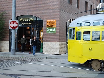
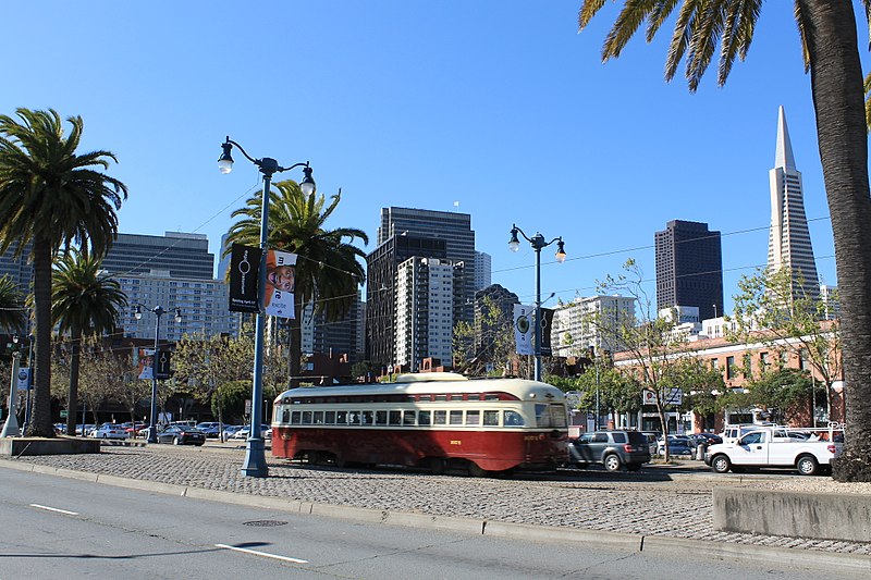
- The Embarcadero & Broadway • Lines: F (4 min walk)
- Ferry Building • Lines: F (8 min walk)
Ferry
- Ferry Building Gate B • Lines: San Francisco Bay Ferry (6 min walk)
- Pier 41 Gate 2 • Lines: Blue & Gold Fleet, San Francisco Bay Ferry (30 min walk)
Bus
- San Francisco Ferry Building • Lines: 82 (6 min walk)
- Drumm Street & Clay Street • Lines: 292, 397, 398, Fcx (8 min walk)
Trolleybus
- Clay Street & Drumm Street • Lines: 1 (8 min walk)
- Market Street & Steuart Street • Lines: 14 (9 min walk)
Metro
- Embarcadero • Lines: Blue, Green, Red, Yellow (12 min walk)
- Montgomery Street • Lines: Blue, Green, Red, Yellow (21 min walk)
Light rail
- Embarcadero • Lines: K, N, S, T (12 min walk)
- Folsom • Lines: N, S, T (19 min walk)



 Muni Metro
