Fayerweather Island, Bridgeport
Map
Facts and practical information
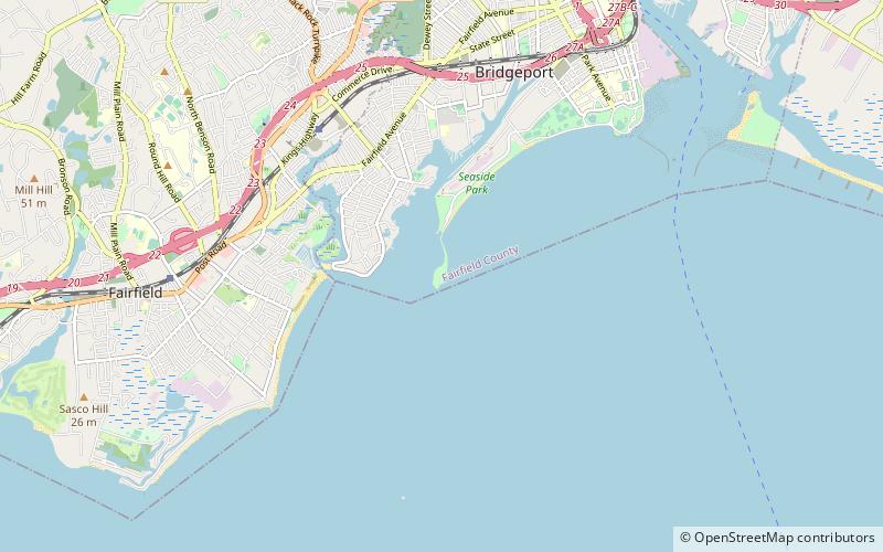
Fayerweather Island is a 7+1⁄2-acre land mass in Long Island Sound. Part of the city of Bridgeport, Connecticut, it is located south of the city's Seaside Park. The island contains a resurgent coastal forest composed primarily of white oak and Eastern red cedar growth. It is home to the Black Rock Harbor Light, built in 1823, at the mouth of Black Rock Harbor. ()
Coordinates: 41°8'35"N, 73°12'58"W
Address
Bridgeport
ContactAdd
Social media
Add
Day trips


Frequently Asked Questions (FAQ)
Which popular attractions are close to Fayerweather Island?
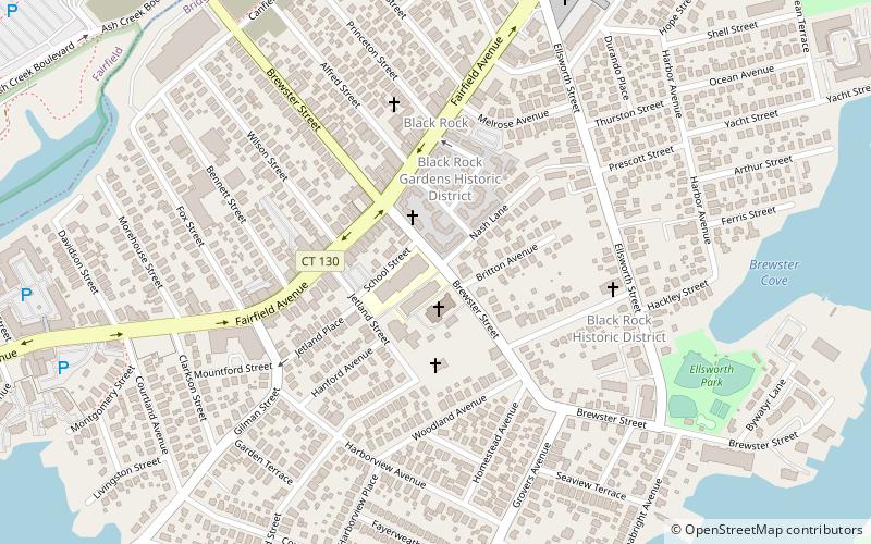
Nearby attractions include Black Rock Harbor Light, Bridgeport (3 min walk), Black Rock Harbor, Bridgeport (14 min walk), Black Rock Historic District, Fairfield (24 min walk).