Fort DuPont, Delaware City
Map
Gallery
Facts and practical information
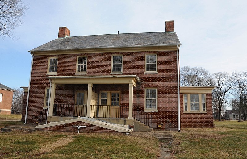
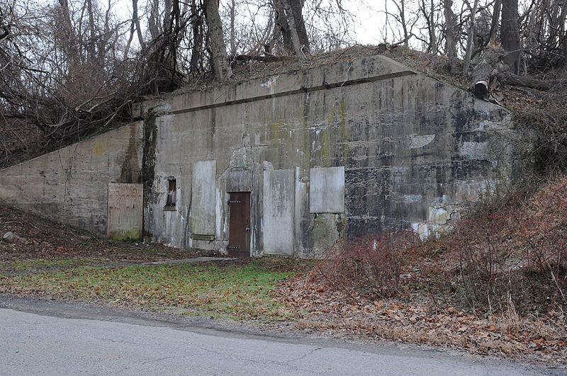
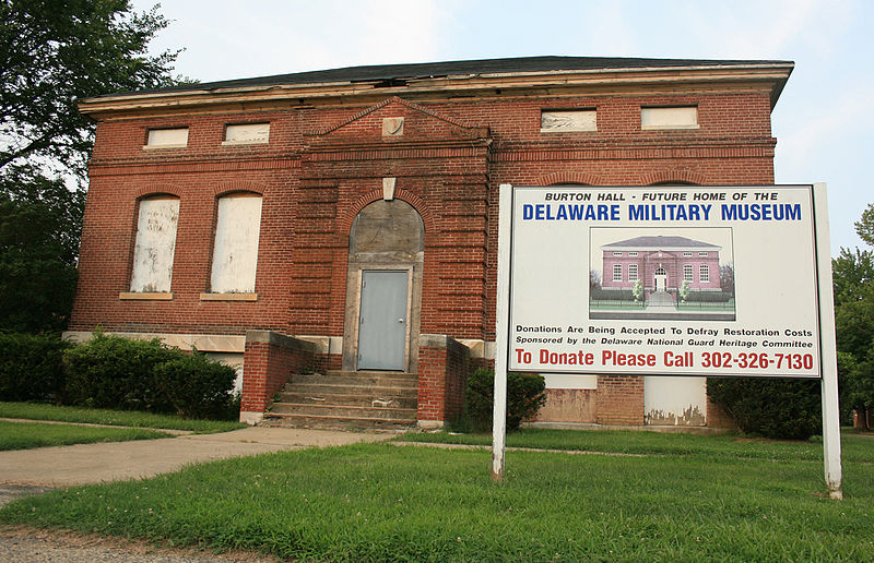
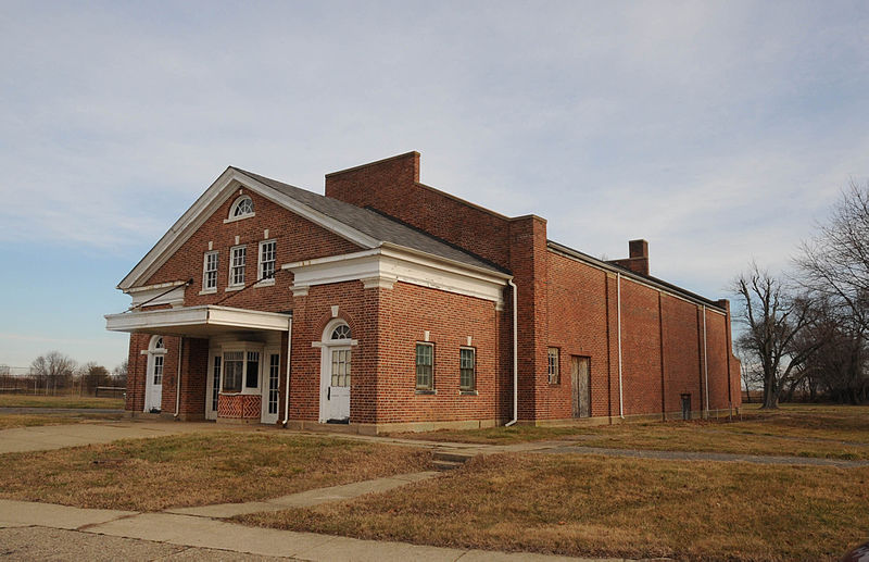
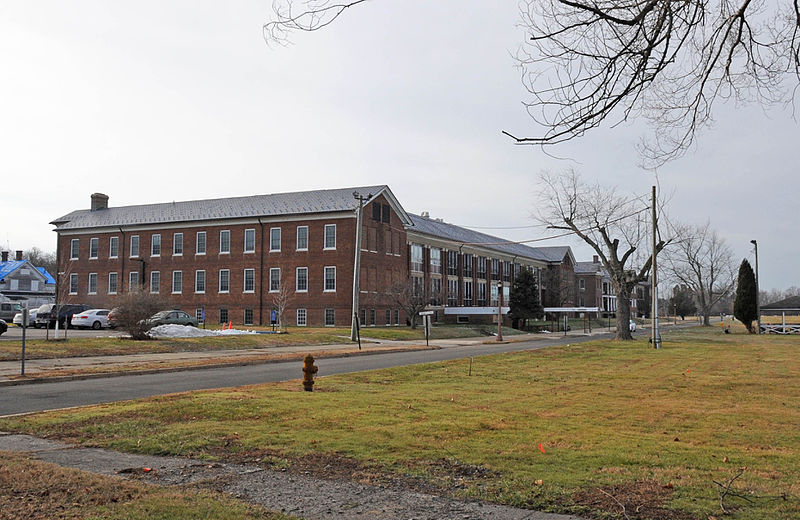
Fort DuPont, named in honor of Rear Admiral Samuel Francis Du Pont, is located between the original Delaware City and the modern Chesapeake and Delaware Canal on the original Reeden Point tract, which was granted to Henry Ward in 1675. Along with two other forts of the Harbor Defenses of the Delaware, it defended the Delaware River and the water approach to Philadelphia from 1900 through 1942. In 2016, the acreage which is not in the state park system was annexed into Delaware City. ()
Built: 1863 (163 years ago)Coordinates: 39°34'12"N, 75°34'60"W
Address
Delaware City
ContactAdd
Social media
Add
Day trips
Fort DuPont – popular in the area (distance from the attraction)
Nearby attractions include: Fort Delaware State Park, Chelsea, Fort DuPont State Park, Delaware City Historic District.
Frequently Asked Questions (FAQ)
Which popular attractions are close to Fort DuPont?
Nearby attractions include Fort DuPont State Park, Delaware City (6 min walk), Delaware City Historic District, Delaware City (16 min walk), Fort Delaware State Park, Delaware City (17 min walk).


