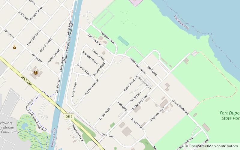
Fort DuPont State Park, Delaware City
Map

Map

Facts and practical information
Fort DuPont State Park is a Delaware state park located in Delaware City, Delaware. Fort DuPont itself, named after Rear Admiral Samuel Francis duPont, was used as a military base from the Civil War through World War II, and was part of a three fort defense system along with Fort Delaware and Fort Mott, with the purpose of protecting the Delaware River and the city of Philadelphia from naval attacks from 1897 through 1942. Fort DuPont State Park is situated along the Delaware River and Chesapeake and Delaware Canal. ()
Established: 1992 (34 years ago)Elevation: 3 ft a.s.l.Coordinates: 39°34'19"N, 75°35'10"W
Day trips
Fort DuPont State Park – popular in the area (distance from the attraction)
Nearby attractions include: Fort DuPont, Fort Delaware State Park, Chelsea, Delaware City Historic District.
Frequently Asked Questions (FAQ)
Which popular attractions are close to Fort DuPont State Park?
Nearby attractions include Fort DuPont, Delaware City (6 min walk), Delaware City Historic District, Delaware City (11 min walk), Fort Delaware State Park, Delaware City (13 min walk), Chelsea, Delaware City (20 min walk).


