Garin Regional Park, Hayward

Gallery (1)
Map
Map
Facts and practical information
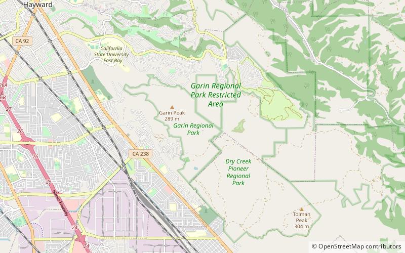
Garin Regional Park is a regional park located in Hayward, California, that is part of the East Bay Regional Parks system. It shares a contiguous border with sister park Dry Creek Pioneer Regional Park. The park is the site of the former Garin Ranch, sold by Andrew J. Garin to the district in 1966. ()
Created: 1966Elevation: 459 ft a.s.l.Coordinates: 37°38'10"N, 122°1'30"W
Address
Hayward
ContactAdd
Social media
Add
Getting there by public transportation
Public transportation stops near this location
- Bus
 Bus
Bus
- Calculate routeMission Boulevard & Arrowhead Way 31 min walk
Day trips


Frequently Asked Questions (FAQ)
How to get to Garin Regional Park by public transport?
The nearest stations to Garin Regional Park:
Bus
Bus
- Mission Boulevard & Arrowhead Way • Lines: 801, 99 (31 min walk)