Dry Creek Pioneer Regional Park, Hayward

Gallery (1)
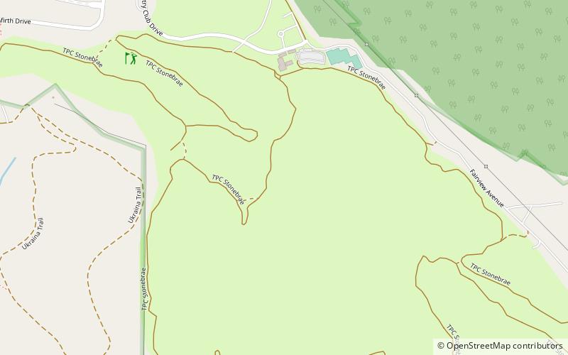
Map
Map
Facts and practical information
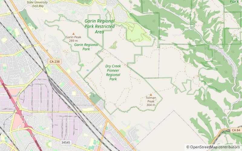
Dry Creek Pioneer Regional Park is a regional park located in Union City, California, sharing a contiguous border with sister park Garin Regional Park. It is part of the East Bay Regional Parks system. ()
Elevation: 968 ft a.s.l.Coordinates: 37°37'21"N, 122°0'30"W
Address
Hayward
ContactAdd
Social media
Add
Getting there by public transportation
Public transportation stops near this location
- Bus
 Bus
Bus
- Calculate routeMission Boulevard & Lafayette Avenue 32 min walk
- Calculate routeMission Boulevard & Tamarack Drive 32 min walk
- Calculate routeTamarack Drive & Castro Street 33 min walk
Day trips


Frequently Asked Questions (FAQ)
How to get to Dry Creek Pioneer Regional Park by public transport?
The nearest stations to Dry Creek Pioneer Regional Park:
Bus
Bus
- Mission Boulevard & Lafayette Avenue • Lines: 801, 99 (32 min walk)
- Mission Boulevard & Tamarack Drive • Lines: 4, 801, 99 (32 min walk)