Grand Haven State Park
Map

Map

Facts and practical information
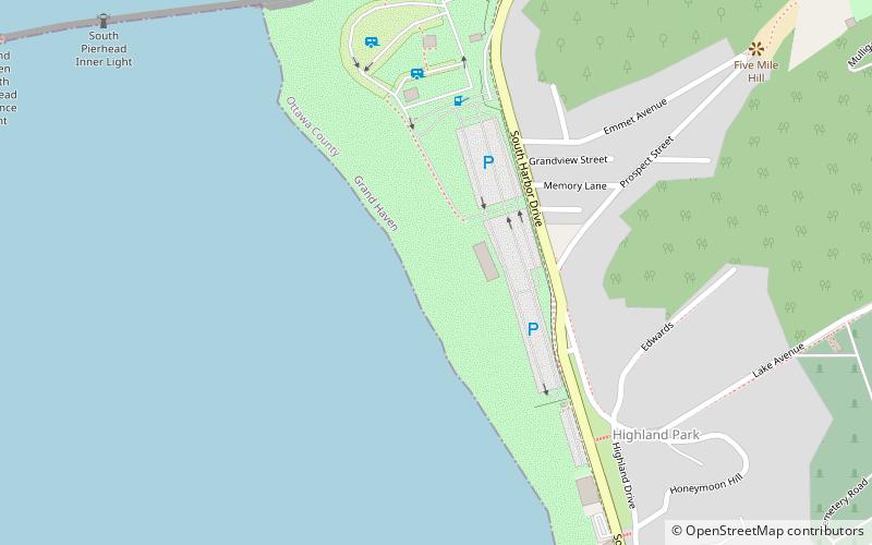
Grand Haven State Park is a public recreation area on the shores Lake Michigan on the south side of the mouth of the Grand River and harbor in Grand Haven, Michigan. The state park encompasses 48 acres consisting entirely of beach sand. It features camping and beach activities along with scenic views of the Grand Haven South Pierhead Entrance Light and Grand Haven South Pierhead Inner Light. ()
Established: 1920 (106 years ago)Coordinates: 43°3'13"N, 86°14'50"W
Day trips
Grand Haven State Park – popular in the area (distance from the attraction)
Nearby attractions include: Mulligan's Hollow Ski Bowl, Grand Haven Beach, Grand Haven Musical Fountain, Cruise Lake Michigan/Crystal Blue Cruises.


