Grand Haven Historic District, Grand Haven
Map

Map

Facts and practical information
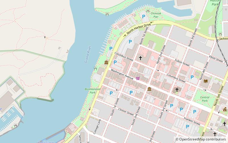
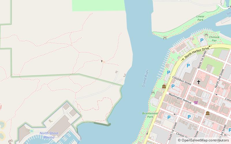
The Grand Haven Historic District is a mixed commercial and residential historic district located along Washington Avenue and adjacent Streets from Harbor Drive through the 600 block, in Grand Haven, Michigan. The district was listed on the National Register of Historic Places in 2016. ()
Coordinates: 43°3'53"N, 86°14'1"W
Address
Grand Haven (Main Street Downtown)Grand Haven
ContactAdd
Social media
Add
Day trips
Grand Haven Historic District – popular in the area (distance from the attraction)
Nearby attractions include: Mulligan's Hollow Ski Bowl, Grand Haven Beach, Grand Haven Musical Fountain, Grand Haven State Park.
Frequently Asked Questions (FAQ)
Which popular attractions are close to Grand Haven Historic District?
Nearby attractions include Armory Art Center, Grand Haven (4 min walk), Gallery Uptown, Grand Haven (4 min walk), Grand Haven Musical Fountain, Grand Haven (6 min walk), Cruise Lake Michigan/Crystal Blue Cruises, Grand Haven (14 min walk).


