Port of Baltimore, Baltimore

Gallery (4)
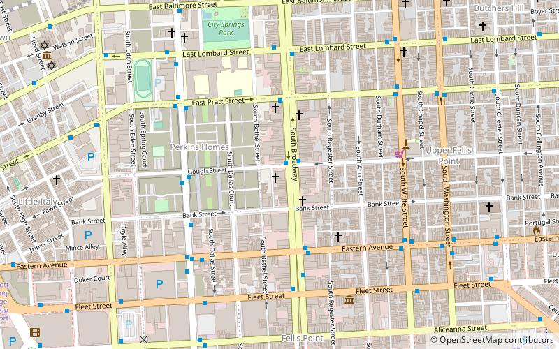
Map

Map
Gallery
Facts and practical information
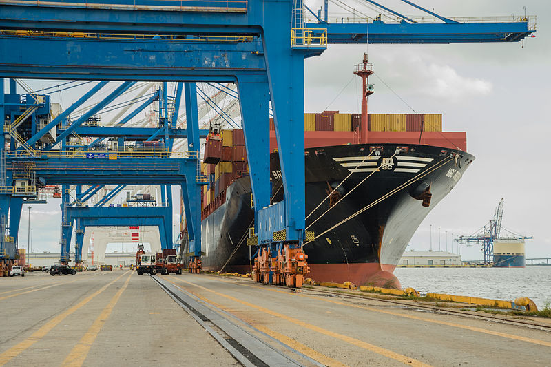
Helen Delich Bentley Port of Baltimore is a shipping port along the tidal basins of the three branches of the Patapsco River in Baltimore, Maryland on the upper northwest shore of the Chesapeake Bay. It is the nation's largest port facilities for specialized cargo and passenger facilities. It is operated by the Maryland Port Administration, a unit of the Maryland Department of Transportation. ()
Address
Baltimore
ContactAdd
Social media
Add
Getting there by public transportation
Public transportation stops near this location
- Metro
- Bus
 Metro
Metro
- Calculate routeAndre Street 16 min walk
- Calculate routeTowson Street 16 min walk
- Calculate routeBoston Street & Aliceanna Street Eastbound 16 min walk
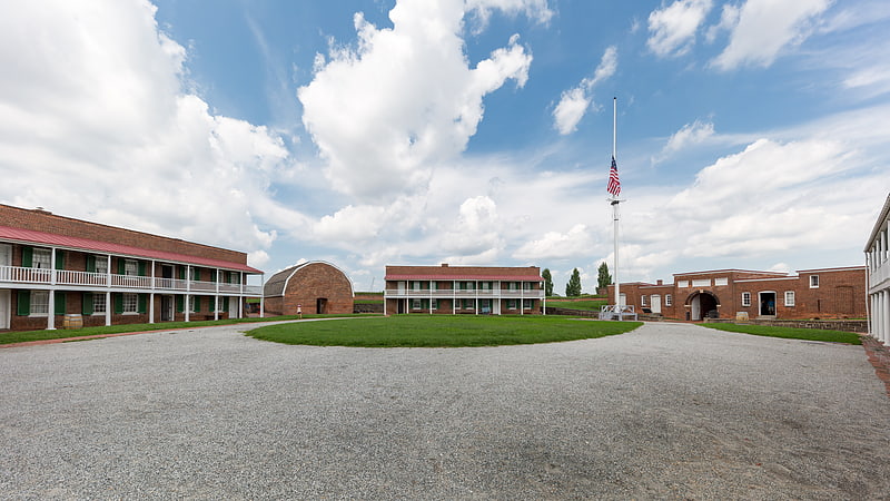
- Calculate routeFort McHenry 17 min walk
- Calculate routeShot Tower/Market Place 40 min walk
Day trips


Frequently Asked Questions (FAQ)
Which popular attractions are close to Port of Baltimore?
Nearby attractions include Henderson's Wharf Marina, Baltimore (8 min walk), Silo Point, Baltimore (9 min walk), Anchorage Marina - Baltimore, Baltimore (9 min walk), St. Casimir Church, Baltimore (14 min walk).
How to get to Port of Baltimore by public transport?
The nearest stations to Port of Baltimore:
Bus
Metro
Bus
- Andre Street • Lines: Banner (16 min walk)
- Towson Street • Lines: Banner (16 min walk)
Metro
- Shot Tower/Market Place • Lines: M (40 min walk)