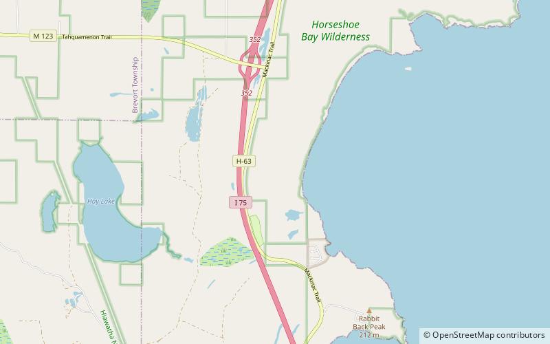
Horseshoe Bay Wilderness, Saint Helena Island National Scenic Area

Map
Facts and practical information
The Horseshoe Bay Wilderness is a 3,787-acre wilderness area in the U.S. state of Michigan. It borders Horseshoe Bay, a shallow bay that is part of the extreme northwest corner of Lake Huron adjacent to the Straits of Mackinac. The wilderness area is overseen by the United States Forest Service as part of the Hiawatha National Forest. ()
Established: 1987 (39 years ago)Coordinates: 45°58'30"N, 84°43'7"W
Address
Saint Helena Island National Scenic Area
ContactAdd
Social media
Add
Day trips
Horseshoe Bay Wilderness – popular in the area (distance from the attraction)
Nearby attractions include: Castle Rock, Mackinac Trail–Carp River Bridge, Horseshoe Bay Trail.


