Horseshoe Bay Trail, Saint Helena Island National Scenic Area

Map
Facts and practical information
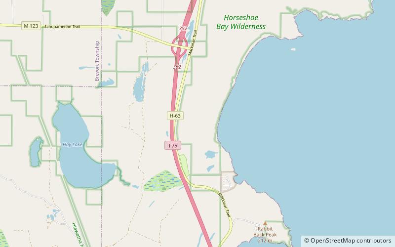
Horseshoe Bay Trail is a 6.4-mile trail that enters and loops through the Horseshoe Bay Wilderness. The motor-vehicle trailhead, located just outside the wilderness, is 6 miles north of St. Ignace, MI. ()
Length: 6.4 miCoordinates: 45°56'45"N, 84°44'45"W
Address
Saint Helena Island National Scenic Area
ContactAdd
Social media
Add
Day trips
Horseshoe Bay Trail – popular in the area (distance from the attraction)
Nearby attractions include: Wawashkamo Golf Club, St. Ignace Mission, Wawatam Lighthouse, The Museum of Ojibwa Culture.


