Lovers Leap State Park
Map

Map

Facts and practical information
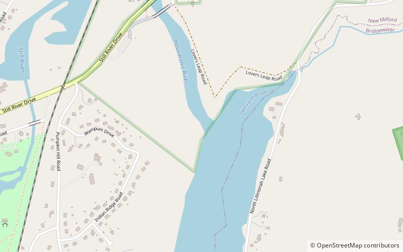
Lovers Leap State Park is a public recreation area on the Housatonic River in the town of New Milford, Litchfield County, Connecticut. The state park's 127 acres straddle the Housatonic Gorge near the intersection of Connecticut Route 67 and Connecticut Route 202. The park offers hiking to scenic and historic locations and is managed by the Connecticut Department of Energy and Environmental Protection. ()
Established: 1971 (55 years ago)Coordinates: 41°32'26"N, 73°24'19"W
Day trips
Lovers Leap State Park – popular in the area (distance from the attraction)
Nearby attractions include: New Milford Center Historic District, Brookfield Craft Center, St. Joseph Church, The Institute for American Indian Studies.


