Reggies, Chicago
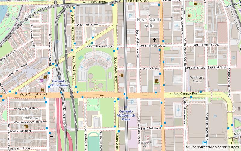
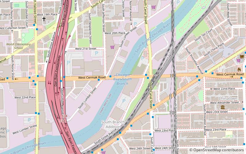
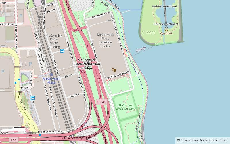
Map
Facts and practical information
Reggies is a restaurant and music venue in Chicago, Illinois, United States. ()
Coordinates: 41°51'14"N, 87°37'36"W
Getting there by public transportation
Public transportation stops near this location
- Metro
- Bus
- Train
 Metro
Metro
- Calculate routeCermak-McCormick Place Green Line Station 2 min walk
- Calculate routeState & Cermak 3 min walk
- Calculate routeCermak & Michigan 4 min walk
- Calculate routeCermak-McCormick Place 3 min walk
- Calculate routeCermak-Chinatown 6 min walk
- Calculate routeRoosevelt 24 min walk
- Calculate routeHalsted 31 min walk
- Calculate route18th Street 14 min walk
- Calculate routeMcCormick Place 15 min walk
- Calculate route27th Street 25 min walk
- Calculate routeMuseum Campus/11th Street 28 min walk
Maps Rail "L"
Rail "L"Day trips


Frequently Asked Questions (FAQ)
Which popular attractions are close to Reggies?
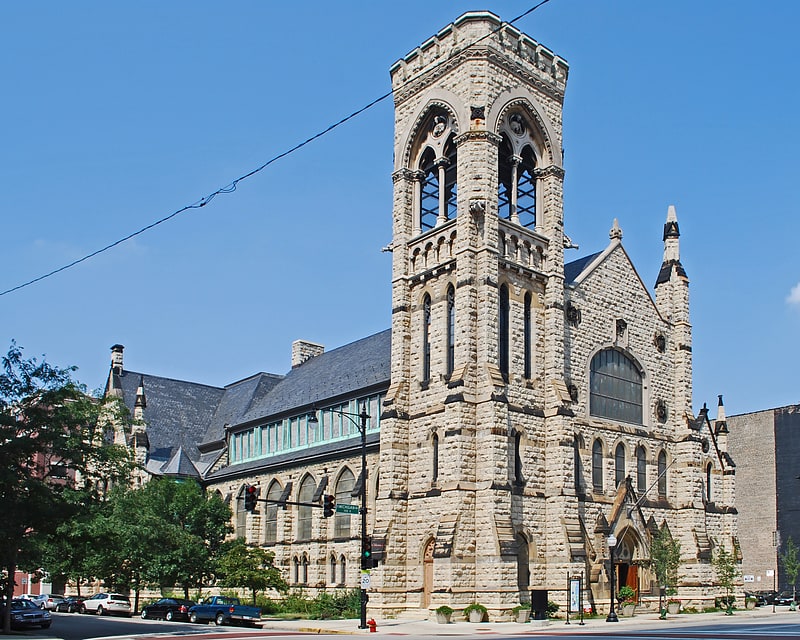
Nearby attractions include Hilliard Towers Apartments, Chicago (3 min walk), Motor Row District, Chicago (5 min walk), Second Presbyterian Church, Chicago (5 min walk), The Levee, Chicago (5 min walk).
How to get to Reggies by public transport?
The nearest stations to Reggies:
Bus
Metro
Train
Bus
- Cermak-McCormick Place Green Line Station • Lines: 21 (2 min walk)
- State & Cermak • Lines: 29 (3 min walk)
Metro
- Cermak-McCormick Place • Lines: Green (3 min walk)
- Cermak-Chinatown • Lines: Red (6 min walk)
Train
- 18th Street (14 min walk)
- McCormick Place (15 min walk)