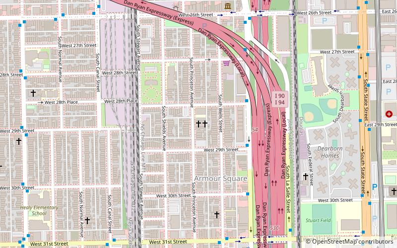
Cermak Road, Chicago
Facts and practical information
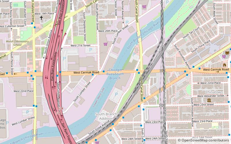
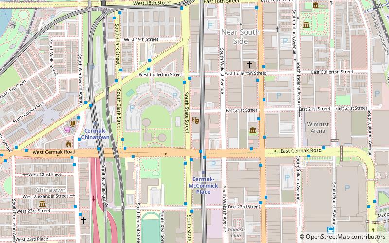
Cermak Road, also known as 22nd Street, is a 19-mile, major east–west street on Chicago's near south and west sides and the city's western suburbs. In Chicago's street numbering system, Cermak is 2200 south, or twenty-two blocks south of the baseline of Madison Street. Normally, one mile comprises eight Chicago blocks, but the arterial streets Roosevelt Road, formerly named Twelfth Street and at 1200 South, and Cermak Road were platted before the eight-blocks-per-mile plan was implemented. Roosevelt Road is one mile south of Madison Avenue and there are twelve blocks within that mile. Cermak Road is two miles south of Madison Avenue and there are ten blocks within the mile between Roosevelt and Cermak Roads. ()
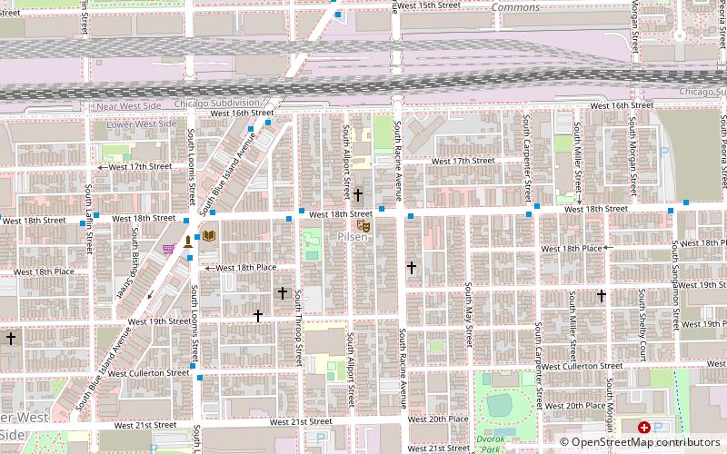
West Side (Lower West Side)Chicago
- Metro
- Bus
- Train
 Metro
Metro
- Calculate routeCermak & Lumber 2 min walk
- Calculate routeArcher & Canal 4 min walk
- Calculate routeCermak-Chinatown 13 min walk
- Calculate routeHalsted 15 min walk
- Calculate routeCermak-McCormick Place 19 min walk
- Calculate routeHalsted Street 17 min walk
- Calculate route18th Street 31 min walk
- Calculate routeMuseum Campus/11th Street 38 min walk
 Rail "L"
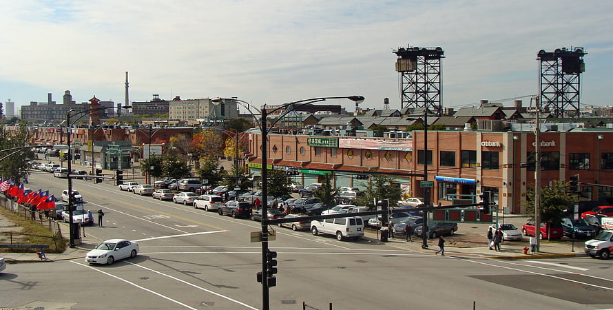


Frequently Asked Questions (FAQ)
Which popular attractions are close to Cermak Road?
How to get to Cermak Road by public transport?
Bus
- Cermak & Lumber • Lines: 21 (2 min walk)
- Archer & Canal • Lines: 44, 62 (4 min walk)
Metro
- Cermak-Chinatown • Lines: Red (13 min walk)
- Halsted • Lines: Orange (15 min walk)
Train
- Halsted Street (17 min walk)
- 18th Street (31 min walk)