Martin Luther King Jr. Shoreline, Oakland
Map
Facts and practical information
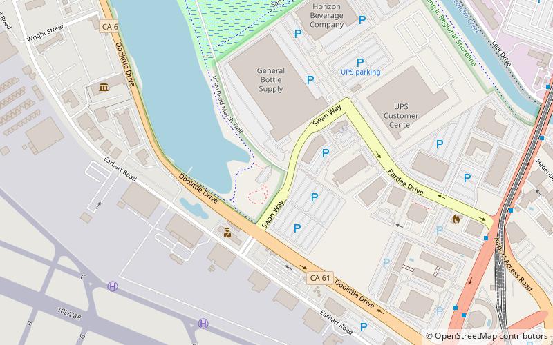
Martin Luther King Jr. Shoreline is a regional park located on the shores of the San Leandro Bay in Oakland, California. Part of the East Bay Regional Parks system, it is named after Civil Rights Movement leader Martin Luther King Jr. The park was established in 1993 on a 741 acres tract of land leased from the Oakland Airport. ()
Created: 1993Elevation: 7 ft a.s.l.Coordinates: 37°43'52"N, 122°12'25"W
Getting there by public transportation
Public transportation stops near this location
- Bus
 Bus
Bus
- Calculate routeHegenberger Road & Pardee Drive 10 min walk
Day trips
Martin Luther King Jr. Shoreline – popular in the area (distance from the attraction)
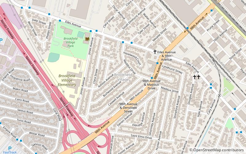
Nearby attractions include: Oakland Aviation Museum, Metropolitan Golf Links, Brookfield Village, Arrowhead Marsh.


Frequently Asked Questions (FAQ)
How to get to Martin Luther King Jr. Shoreline by public transport?
The nearest stations to Martin Luther King Jr. Shoreline:
Bus
Bus
- Hegenberger Road & Pardee Drive • Lines: 73, 805 (10 min walk)