Brookfield Village, Oakland

Map
Facts and practical information
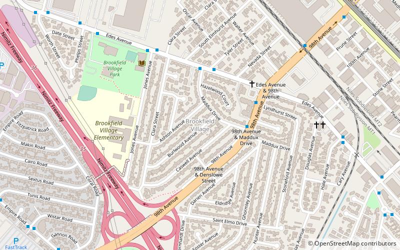
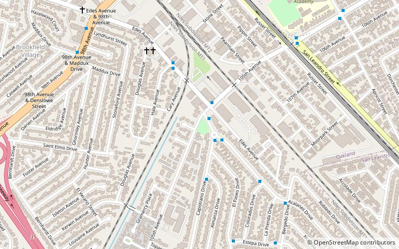
Brookfield Village is an Oakland, California neighborhood located in East Oakland near Oakland International Airport. The main streets are 98th Avenue and Edes Avenue. ()
Coordinates: 37°44'7"N, 122°11'10"W
Address
Elmhurst (Brookfield Village)Oakland
ContactAdd
Social media
Add
Day trips
Brookfield Village – popular in the area (distance from the attraction)
Nearby attractions include: Oakland Arena, Metropolitan Golf Links, Martin Luther King Jr. Shoreline, Oakland Coliseum.
Frequently Asked Questions (FAQ)
How to get to Brookfield Village by public transport?
The nearest stations to Brookfield Village:
Bus
Train
Bus
- 98th Avenue & Denslowe Street • Lines: 98 (3 min walk)
- Edes Avenue & Maddux Drive • Lines: 45 (4 min walk)
Train
- Oakland-Coliseum/Airport (35 min walk)


