Massasoit State Park

Gallery (2)
Map
Map
Gallery
Facts and practical information
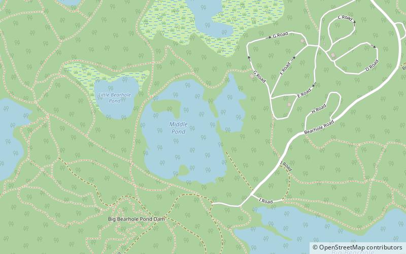
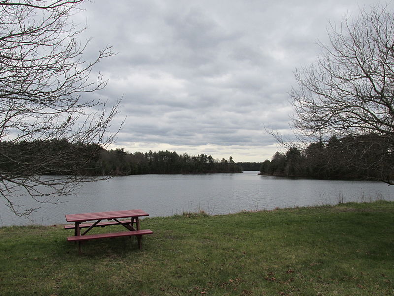
Massasoit State Park is a public recreation area located on the southeast side of the city of Taunton, Massachusetts, with some parklands spilling into the adjacent town of Lakeville. The state park encompasses more than 1200 heavily wooded acres that include six lakes and ponds and numerous cranberry bogs. ()
Coordinates: 41°52'4"N, 70°59'24"W
Day trips
Massasoit State Park – popular in the area (distance from the attraction)
Nearby attractions include: Silver City Galleria, United States Post Office–Middleborough Main, Middleborough Historical Museum, Robbins Museum.


