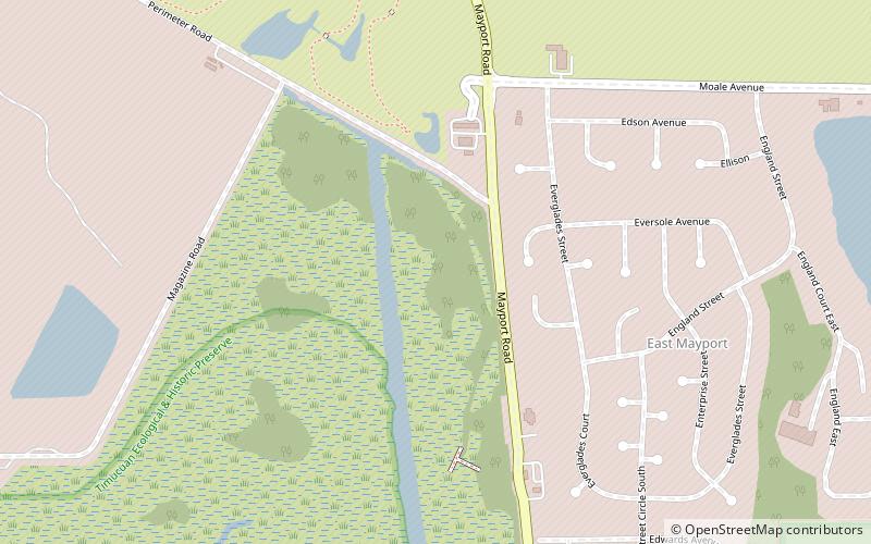
Mayport, Jacksonville

Map
Facts and practical information
Mayport is a small community located between Naval Station Mayport and the St. Johns River in Jacksonville, Florida. It is part of the Jacksonville Beaches communities. The only public road to Mayport is State Road A1A, which crosses the St. Johns River Ferry to Fort George Island. ()
Coordinates: 30°22'51"N, 81°24'43"W
Address
Jacksonville
ContactAdd
Social media
Add
Day trips
Mayport – popular in the area (distance from the attraction)
Nearby attractions include: St. Johns River Light, St. Johns Light, Morningstar Marinas, Hanna Park.
Frequently Asked Questions (FAQ)
Which popular attractions are close to Mayport?
Nearby attractions include Hanna Park, Jacksonville (11 min walk), St. Johns Light, Jacksonville (24 min walk).


