St. Johns Light, Jacksonville
Map

Map

Facts and practical information
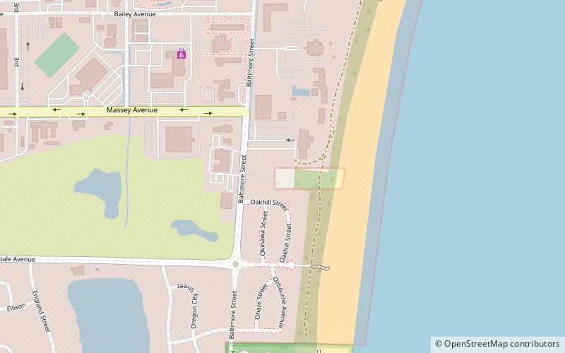
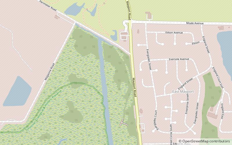
The St. Johns Light is an active lighthouse in Jacksonville, Florida, marking the mouth of the St. Johns River. Built in 1954, it is located on Naval Station Mayport in the Mayport area. It was erected to replace a lightship, which itself replaced the still-standing Old St. Johns River Light. It is the fourth lighthouse built at the mouth of the St. Johns since 1830. It was listed on the National Register of Historic Places in 2018. ()
Coordinates: 30°23'10"N, 81°23'53"W
Address
Jacksonville
ContactAdd
Social media
Add
Day trips
St. Johns Light – popular in the area (distance from the attraction)
Nearby attractions include: Kingsley Plantation, St. Johns River Light, Charles E. Bennett Memorial Bridge, St. George Episcopal Church.


