Middle Prong Wilderness, Pisgah National Forest
Map

Map

Facts and practical information
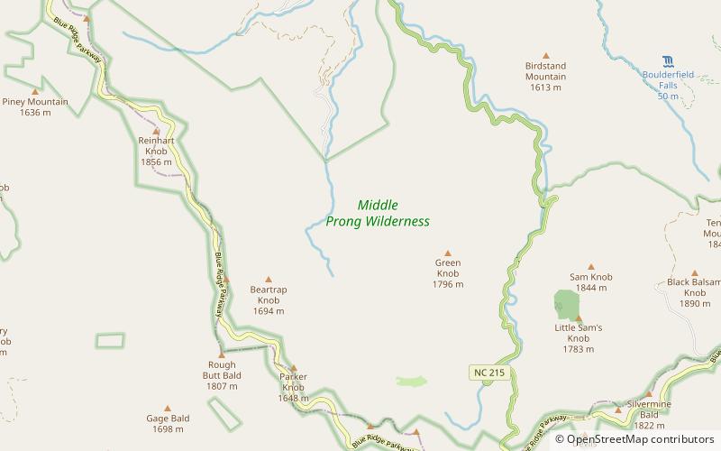
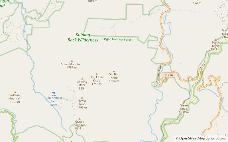
Middle Prong Wilderness was designated in 1984 and it covers 7,900 acres within the Pisgah National Forest in Haywood County, Western North Carolina. The Wilderness Area spans steep, rugged high-elevation ridges ranging from 3,200 to over 6,400 feet, and the area gets its name from the Middle Prong of the Pigeon River finding whose headwaters are located in the area. NC 215 separates from Shining Rock Wilderness to the northeast. ()
Established: 1984 (42 years ago)Coordinates: 35°20'7"N, 82°56'18"W
Day trips
Middle Prong Wilderness – popular in the area (distance from the attraction)
Nearby attractions include: Art Loeb Trail, Graveyard Fields, Black Balsam Knob, Devil's Courthouse.


