Moosup Valley State Park Trail
Map

Map

Facts and practical information
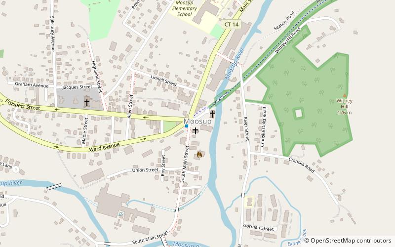
The Moosup Valley State Park Trail is a rail trail located on the railbed of a former New York, New Haven and Hartford Railroad line in the New England towns of Plainfield and Sterling in Windham County, Connecticut. The line ran from 1898 until 1968. The rail line was abandoned in the late 1960s, and was designated by the state as a multi-use trail in 1987. The trail is owned and operated by the Connecticut Department of Energy and Environmental Protection. ()
Length: 5.8 miCoordinates: 41°42'46"N, 71°52'51"W
Location
Connecticut
ContactAdd
Social media
Add
Day trips
Moosup Valley State Park Trail – popular in the area (distance from the attraction)
Nearby attractions include: Prudence Crandall Museum, Unitarian Meetinghouse, Ross's Cliffs and Old Furnace State Park, Ross Pond State Park.


