Quinebaug Lake State Park
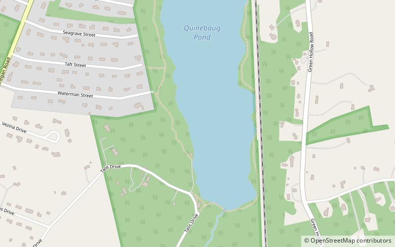
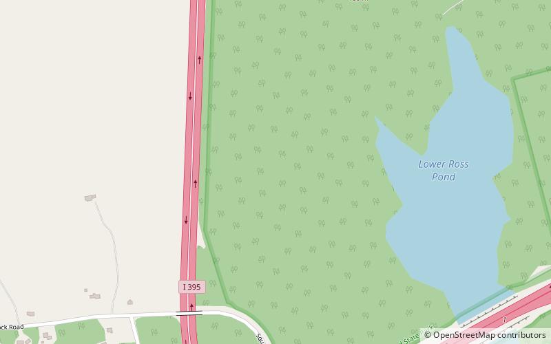
Map
Facts and practical information
Quinebaug Lake State Park is a public recreation area covering 181 acres in the town of Killingly, Connecticut. The state park offers opportunities for fishing and non-motorized boating on Wauregan Reservoir. The park is managed by the Connecticut Department of Energy and Environmental Protection. ()
Established: 1964 (62 years ago)Coordinates: 41°46'17"N, 71°53'18"W
Day trips