Cary Parkway, Cary
Map
Facts and practical information
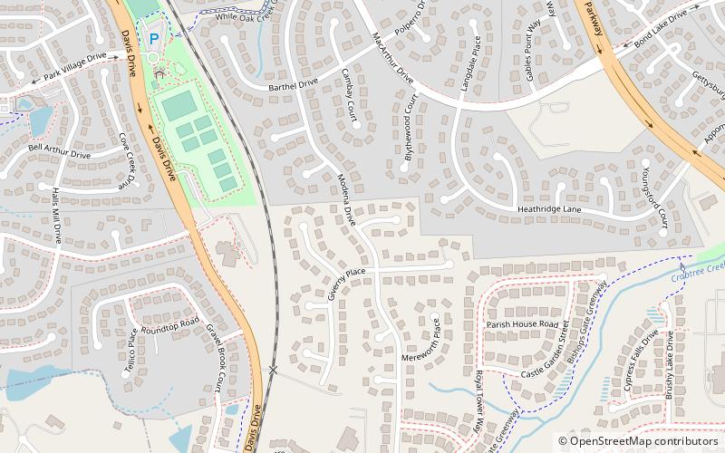
Cary Parkway is a major semi-circular route through Cary, North Carolina, United States. The parkway serves approximately as Cary's outer ring highway, though it does not form a complete circle like the inner ring, Maynard Road. Viewing a map of the city as a clock-face, Cary Parkway extends counterclockwise approximately from the 12 o'clock position in the north down to the 7 o'clock position in the southwest. At that point, the road departs from its circular path and heads south toward its terminus at Holly Springs Road. ()
Coordinates: 35°46'13"N, 78°50'26"W
Address
West CaryCary
ContactAdd
Social media
Add
Getting there by public transportation
Public transportation stops near this location
- Bus
 Bus
Bus
- Calculate routeTaylor Family YMCA 14 min walk
- Calculate routeSouthwest Cary Parkway & Waldo Rood Boulevard 21 min walk
- Calculate routeBond Park at Cary Senior Center 34 min walk
Day trips


Frequently Asked Questions (FAQ)
How to get to Cary Parkway by public transport?
The nearest stations to Cary Parkway:
Bus
Bus
- Taylor Family YMCA • Lines: 8 (14 min walk)
- Southwest Cary Parkway & Waldo Rood Boulevard • Lines: 8 (21 min walk)