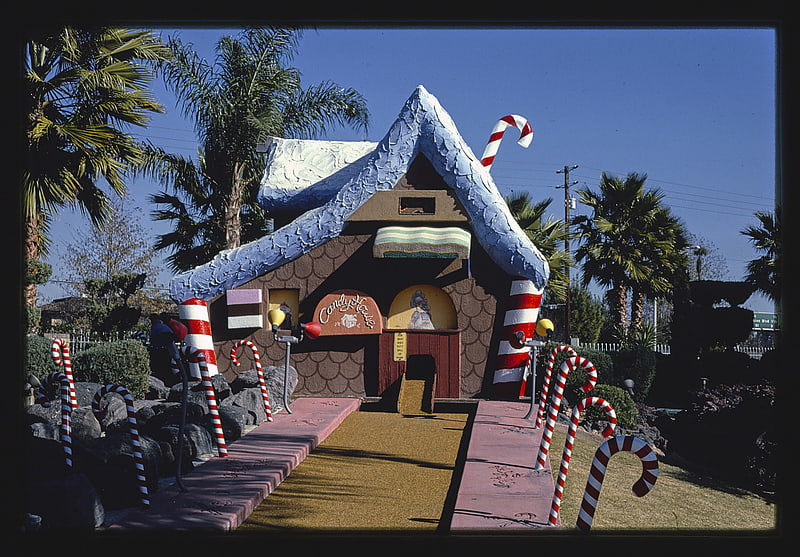
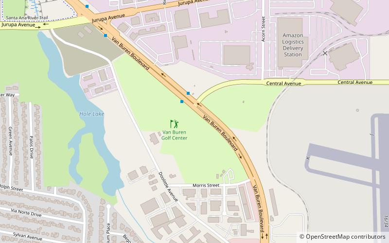
Van Buren Golf Center, Riverside

Gallery (1)
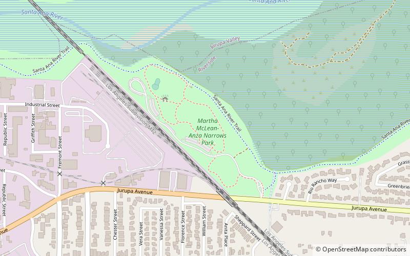
Map
Map
Facts and practical information
Van Buren Golf Center (address: 6720 Van Buren Blvd) is a place located in Riverside (California state) and belongs to the category of golf.
It is situated at an altitude of 741 feet, and its geographical coordinates are 33°57'18"N latitude and 117°27'25"W longitude.
Among other places and attractions worth visiting in the area are: Anza Narrows Park (park, 44 min walk), Alvord Unified School District (neighbourhood, 51 min walk), Indian Hills Golf Club (golf, 57 min walk).
Coordinates: 33°57'18"N, 117°27'25"W
Address
6720 Van Buren BlvdCentral Riverside (Riverside Airport)Riverside 92503
Contact
(951) 688-2563
Social media
Add
Day trips