Anza Narrows Park, Riverside
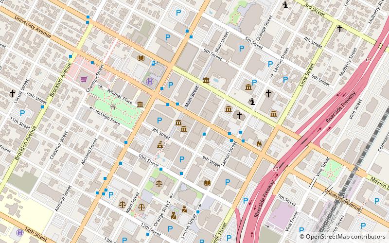
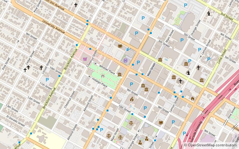
Map
Facts and practical information
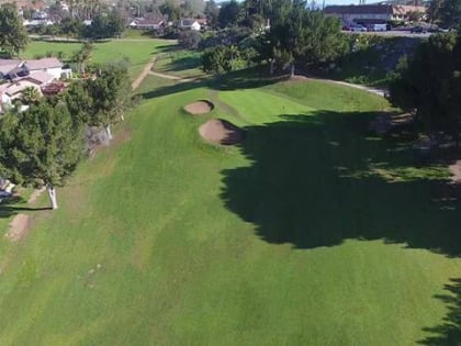
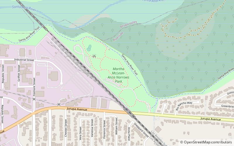
Martha McLean – Anza Narrows is a 40-acre regional park located along the Santa Ana River in Riverside, California, United States. The park is operated by the City of Riverside - Parks Recreation and Community Services Department. A plaque in the northwest corner of the park marks the point at which the Juan Bautista de Anza party, the first Europeans to traverse the Riverside area, crossed the river in 1774 and again in 1776. ()
Created: 1990Elevation: 761 ft a.s.l.Coordinates: 33°57'54"N, 117°25'48"W
Day trips
Anza Narrows Park – popular in the area (distance from the attraction)
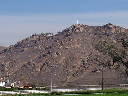
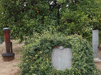
Nearby attractions include: Mount Rubidoux, UCR ARTSblock, Center for Social Justice and Civil Liberties, Washington navel orange tree.
