Oakland Square Historic District, Pittsburgh
Map

Map

Facts and practical information
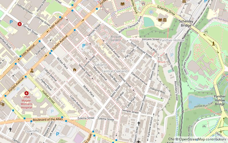
Oakland Square Historic District in the Central Oakland neighborhood of Pittsburgh, Pennsylvania, contains 99 properties. The core of the district surrounds Oakland Square, with the remaining properties along Parkview Avenue and Dawson Street. The neighborhood was conceived in the 1890s by developer Eugene O'Neill and were inspired by the urban design of Victorian England and Dublin. The district was added to the List of City of Pittsburgh historic designations on June 14, 2005. ()
Built: 1890 (136 years ago)Coordinates: 40°26'19"N, 79°57'17"W
Address
Central Pittsburgh (Central Oakland)Pittsburgh
ContactAdd
Social media
Add
Day trips
Oakland Square Historic District – popular in the area (distance from the attraction)
Nearby attractions include: Carnegie Museum of Art, Dippy, Phipps Conservatory, Petersen Events Center.
Frequently Asked Questions (FAQ)
Which popular attractions are close to Oakland Square Historic District?
Nearby attractions include Forbes Tower, Pittsburgh (5 min walk), Forbes Field, Pittsburgh (6 min walk), Sennott Square, Pittsburgh (6 min walk), Darlington Collection, Pittsburgh (7 min walk).
How to get to Oakland Square Historic District by public transport?
The nearest stations to Oakland Square Historic District:
Bus
Bus
- Atwood Station • Lines: 71B (8 min walk)
- Fifth Avenue opposite Craft Avenue • Lines: 71B (13 min walk)


