Signal Mountain Trail, Grand Teton National Park

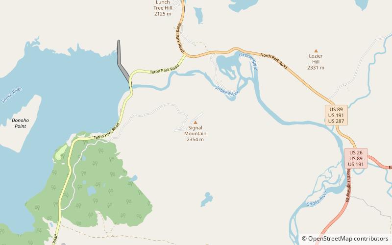
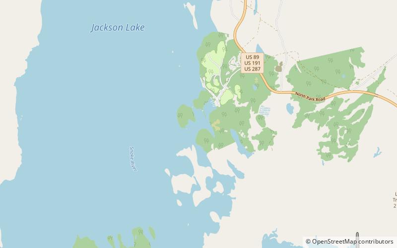
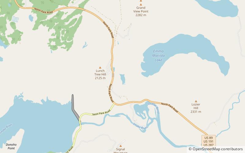
Map
Facts and practical information
The Signal Mountain Trail is a 6.8-mile long roundtrip hiking trail in Grand Teton National Park in the U.S. state of Wyoming. The trail begins near Signal Mountain Lodge on Jackson Lake and provides hiking access to the summit of Signal Mountain. The trail passes through Lodgepole Pine forests most of the way and the view from the summit of Signal Mountain provide sweeping views of the entire Teton Range and much of Jackson Hole. ()
Length: 3.4 miMaximum elevation: 7700 ftMinimal elevation: 6800 ftCoordinates: 43°50'56"N, 110°34'1"W
Day trips
Signal Mountain Trail – popular in the area (distance from the attraction)
Nearby attractions include: Emma Matilda Lake Trail, Signal Mountain, Two Ocean Lake, Colter Bay.


