Trek Zone

Colter Bay, Grand Teton National Park

#26 among attractions in Grand Teton National Park

Hiking, Hiking trail
Colter Bay location map
Map

Facts and practical information
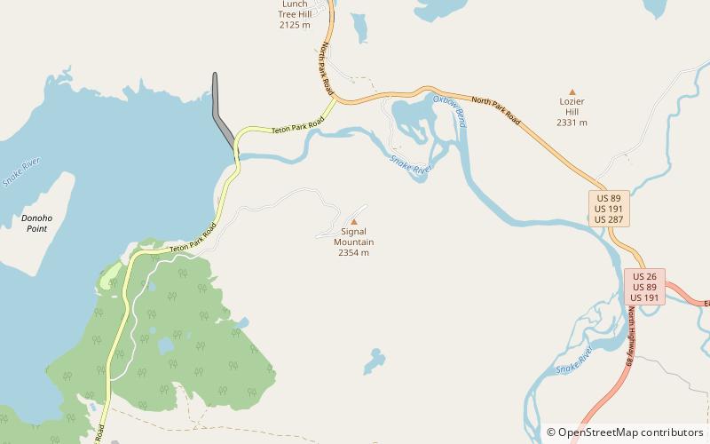
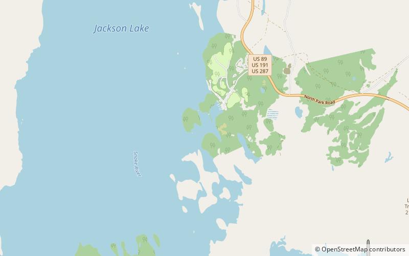
Length: 2 miMaximum elevation: 6850 ftMinimal elevation: 6780 ftCoordinates: 43°53'48"N, 110°38'56"W
Address

Grand Teton National Park United States

ContactAdd
Social media
Add
Day trips

Colter Bay – popular in the area (distance from the attraction)

Nearby attractions include: Emma Matilda Lake Trail, Trapper Lake, Signal Mountain, Heron Pond.

  • emma matilda lake trail grand teton national park5.6 miE
  • trapper lake grand teton national park6 miSW
  • signal mountain grand teton national park5.2 miSE
  • heron pond grand teton national park1 miSE
  • signal mountain trail grand teton national park location map
    5.2 miSE
  • bearpaw lake grand teton national park6.1 miSW
  • jackson lake grand teton national park1.3 miW
  • jackson lake dam grand teton national park3.6 miSE
  • waterfalls canyon grand teton national park5.6 miW
  • jackson lake ranger station grand teton national park4.2 miSE
  • eagles rest peak grand teton national park5.5 miW

Where to next? Visit wyoming Wyoming region page or discover the top tourist attractions in United States.