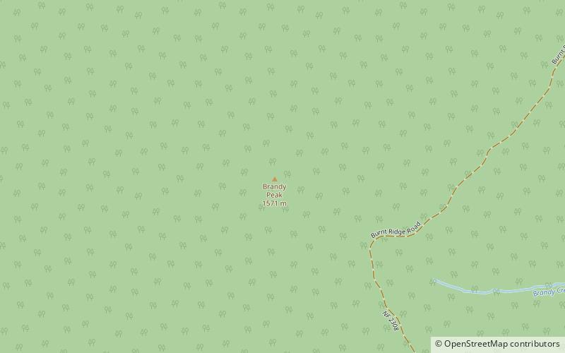
Brandy Peak, Rogue River–Siskiyou National Forest

Map
Facts and practical information
Brandy Peak is an 5,302-foot summit in the Klamath Mountains of Curry County, Oregon in the United States. It is located in the Siskiyou National Forest, about 10 miles east of Illahe. ()
Elevation: 5302 ftProminence: 3618 ftCoordinates: 42°35'50"N, 123°52'44"W
Address
Rogue River–Siskiyou National Forest
ContactAdd
Social media
Add