Maiden Peak, Deschutes National Forest
Map

Map

Facts and practical information
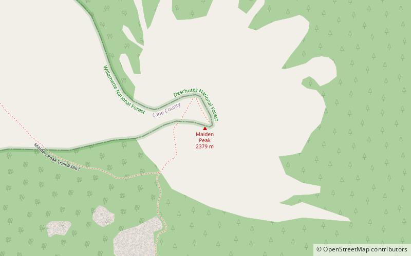
Maiden Peak is a steep-sided shield volcano in the Cascade Range of central Oregon. It is the highest point in the 43-mile distance between Mount Bachelor and Diamond Peak. Ice Age glaciers carved a large cirque into the northeast flank of the mountain, exposing magma which hardened in the volcano's conduits to form the numerous rock pinnacles now found in the upper part of the cirque. ()
Elevation: 7823 ftProminence: 2578 ftCoordinates: 43°37'36"N, 121°57'54"W
Address
Deschutes National Forest
ContactAdd
Social media
Add
Day trips
Maiden Peak – popular in the area (distance from the attraction)
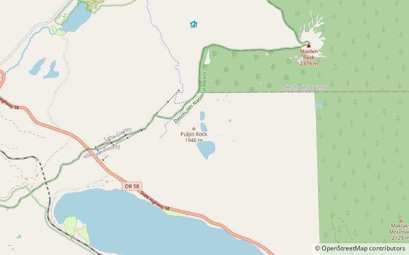
Nearby attractions include: Willamette Pass Resort, Rosary Lakes, Odell Lake, Waldo Lake.


