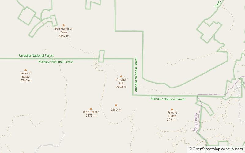
Vinegar Hill, Malheur National Forest

Map
Facts and practical information
Vinegar Hill is an 8,131-foot summit of the Greenhorn Mountains in Grant County, Oregon in the United States. It is located in the North Fork John Day Wilderness of the Umatilla National Forest. ()
Elevation: 8131 ftCoordinates: 44°42'50"N, 118°33'40"W
Address
Malheur National Forest
ContactAdd
Social media
Add
Day trips
Vinegar Hill – popular in the area (distance from the attraction)
Nearby attractions include: Greenhorn Mountains.