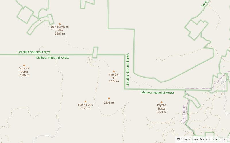
Greenhorn Mountains, Malheur National Forest

Map
Facts and practical information
The Greenhorn Mountains are a small mountain range in Grant and Baker counties in the U.S. state of Oregon. They are part of the Blue Mountains. ()
Maximum elevation: 8100 ftCoordinates: 44°42'50"N, 118°33'40"W
Address
Malheur National Forest
ContactAdd
Social media
Add
Day trips
Greenhorn Mountains – popular in the area (distance from the attraction)
Nearby attractions include: Vinegar Hill.