Cage Hill, Stephens State Park

Map
Facts and practical information
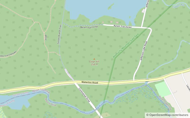
Cage Hill is a conical hill in Sussex County, New Jersey. The summit rises to 846 feet, overlooking the confluence of Lubbers Run and the Musconetcong River to the south, and Jefferson Lake to the north. It is part of the New York–New Jersey Highlands of the Appalachian Mountains. ()
Elevation: 846 ftCoordinates: 40°55'21"N, 74°44'11"W
Address
Stephens State Park
ContactAdd
Social media
Add
Day trips
Cage Hill – popular in the area (distance from the attraction)
Nearby attractions include: Waterloo Village, Morris Canal, Lookout Mountain, Allamuchy Mountain State Park.


