Mount Flume, Franconia
Map

Map

Facts and practical information
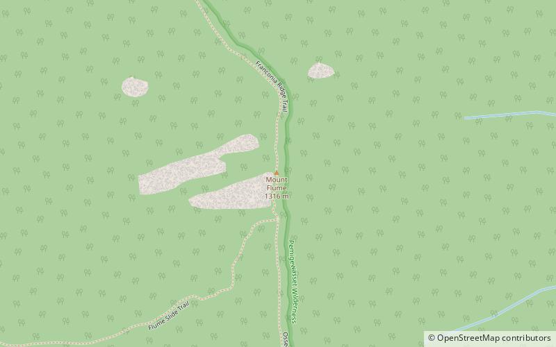
Mount Flume is a 4,328-foot mountain at the southern end of the Franconia Range in the White Mountains of New Hampshire, United States. Mount Flume is the lowest in elevation of the peaks in the Franconia Range that are accessible by official hiking trails. ()
Elevation: 4328 ftProminence: 408 ftCoordinates: 44°6'32"N, 71°37'41"W
Address
Franconia
ContactAdd
Social media
Add
Day trips
Mount Flume – popular in the area (distance from the attraction)
Nearby attractions include: Cannon Mountain Ski Area, Clark's Bears, Whale's Tale Water Park, Flume Gorge.


