Hollins Market, Baltimore
Map

Map

Facts and practical information
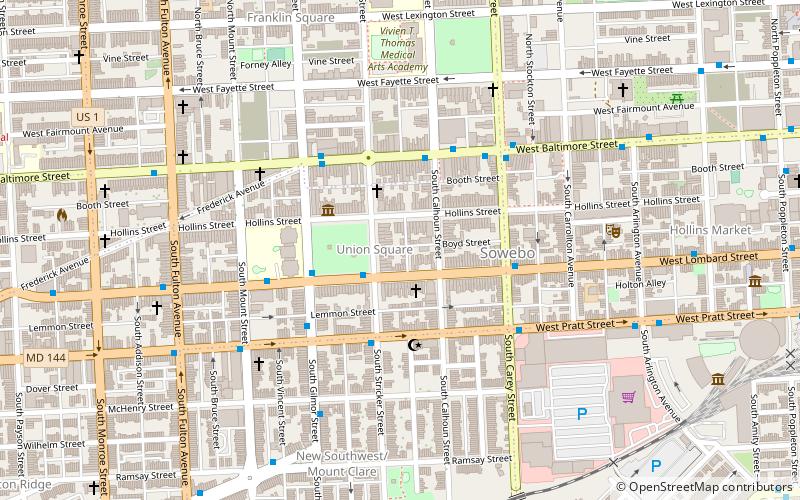
Hollins Market is the name of the oldest existing public market building in the city of Baltimore, Maryland. It is a contributing property to the Union Square-Hollins Market Historic District. ()
Built: 1838 (188 years ago)Coordinates: 39°17'13"N, 76°38'25"W
Address
Southern Baltimore (Union Square)Baltimore
ContactAdd
Social media
Add
Day trips
Hollins Market – popular in the area (distance from the attraction)
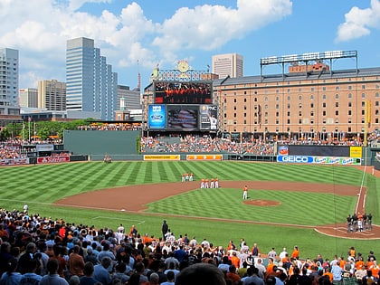
Nearby attractions include: Oriole Park at Camden Yards, M&T Bank Stadium, Lexington Market, Camden Yards Sports Complex.
Frequently Asked Questions (FAQ)
Which popular attractions are close to Hollins Market?
Nearby attractions include H. L. Mencken House, Baltimore (3 min walk), Sowebo, Baltimore (4 min walk), Franklin Square Historic District, Baltimore (8 min walk), St. Luke's Church, Baltimore (8 min walk).
How to get to Hollins Market by public transport?
The nearest stations to Hollins Market:
Bus
Train
Metro
Light rail
Bus
- Mount Clare Street • Lines: Orange (8 min walk)
- Hollins Market • Lines: Orange (8 min walk)
Train
- West Baltimore (21 min walk)
- Baltimore Camden Station (29 min walk)
Metro
- Lexington Market • Lines: M (28 min walk)
- State Center/Cultural Center • Lines: M (35 min walk)
Light rail
- Convention Center • Lines: Lr (29 min walk)
- Baltimore Arena • Lines: Lr (29 min walk)


