Carroll Park, Baltimore
Map

Map

Facts and practical information
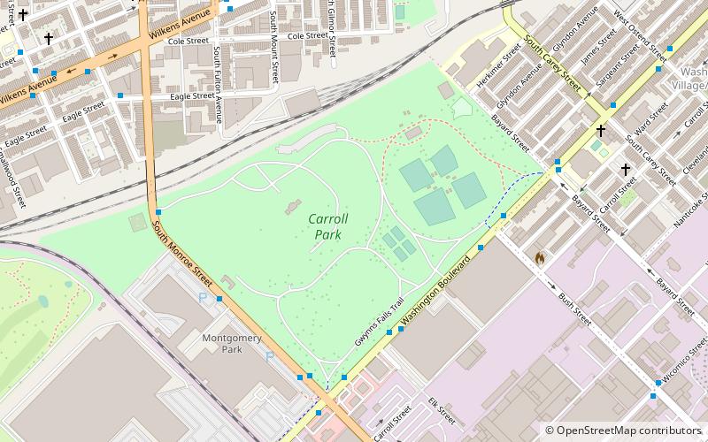
Carroll Park is a nearly 117-acre public park located in the historic Washington Village-Pigtown neighborhood in southwestern Baltimore, Maryland. The park is bordered by Washington Boulevard to the south, Monroe Street to the west, Bayard Street to the east, and the Mount Clare Branch of the Baltimore Terminal Subdivision railroad to the north. The park also extends westward beyond the Montgomery Ward Warehouse and Retail Store to include the Carroll Park Golf Course. ()
Created: 1890Elevation: 43 ft a.s.l.Coordinates: 39°16'43"N, 76°38'29"W
Day trips
Carroll Park – popular in the area (distance from the attraction)
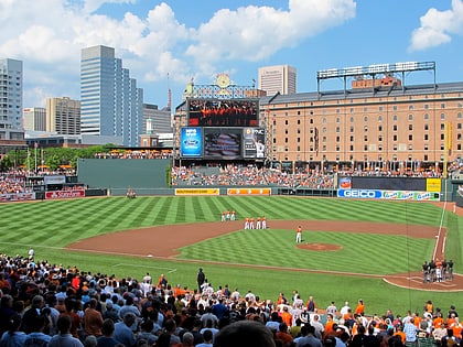
Nearby attractions include: Oriole Park at Camden Yards, M&T Bank Stadium, Gwynns Falls Trail, Camden Yards Sports Complex.
Frequently Asked Questions (FAQ)
Which popular attractions are close to Carroll Park?
Nearby attractions include Mount Clare, Baltimore (3 min walk), Carrollton Ridge, Baltimore (13 min walk), Pigtown, Baltimore (13 min walk), Equitable Gas Works, Baltimore (14 min walk).
How to get to Carroll Park by public transport?
The nearest stations to Carroll Park:
Bus
Light rail
Train
Metro
Bus
- Mount Clare Street • Lines: Orange (16 min walk)
- Hollins Market • Lines: Orange (20 min walk)
Light rail
- Stadium/Federal Hill • Lines: Lr (30 min walk)
- Camden Yards • Lines: Lr (32 min walk)
Train
- West Baltimore (31 min walk)
- Baltimore Camden Station (31 min walk)
Metro
- Lexington Market • Lines: M (38 min walk)


