North Street, Boston
Map

Gallery

Facts and practical information
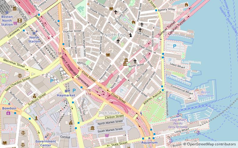
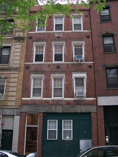
North Street in the North End of Boston, Massachusetts extends from Congress Street to Commercial Street. It runs past Dock Square, Faneuil Hall, Quincy Market, the Rose Kennedy Greenway, and North Square. It was first named in 1852, and consists of segments of streets formerly named Ann, Fish, Ship, Drawbridge, and Conduit Streets. ()
Coordinates: 42°21'47"N, 71°3'15"W
Day trips
North Street – popular in the area (distance from the attraction)
Nearby attractions include: Quincy Market, Faneuil Hall, Haymarket Open-Air Market, Rose Fitzgerald Kennedy Greenway.
Frequently Asked Questions (FAQ)
Which popular attractions are close to North Street?
Nearby attractions include North Square, Boston (2 min walk), Pierce-Hichborn House, Boston (2 min walk), Paul Revere House, Boston (2 min walk), Seamen's Bethel, Boston (2 min walk).
How to get to North Street by public transport?
The nearest stations to North Street:
Metro
Light rail
Train
Bus
Metro
- Haymarket • Lines: Orange (5 min walk)
- Aquarium • Lines: Blue (7 min walk)
Light rail
- Haymarket • Lines: C, E (6 min walk)
- North Station • Lines: C, E (9 min walk)
Train
- Boston North Station (13 min walk)
- Boston South Station (21 min walk)
Bus
- Federal St @ Franklin St • Lines: 504 (14 min walk)
- Otis St @ Summer St • Lines: 504, 7 (17 min walk)

 MBTA Subway


