El Camino College, Torrance

Map
Facts and practical information
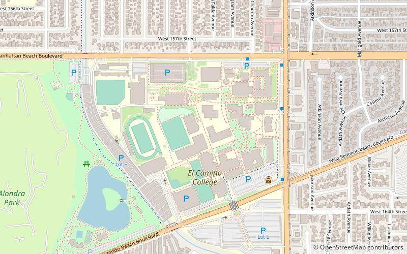
El Camino College is a two-year public community college located in the unincorporated area of Los Angeles County known as Alondra Park. It consists of 37 buildings spanning an area of roughly 26 acres. It is one of two community colleges serving Southern California's South Bay area. ()
Established: 1947 (79 years ago)Coordinates: 33°53'6"N, 118°19'48"W
Day trips
El Camino College – popular in the area (distance from the attraction)
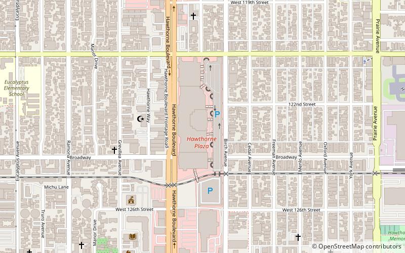
Nearby attractions include: South Bay Galleria, Hawthorne Plaza Shopping Center, Toyota USA Automobile Museum, Manhattan Beach Botanical Garden.


