Florence Peak, Sequoia and Kings Canyon National Parks
Map

Map

Facts and practical information
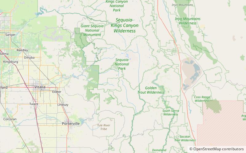
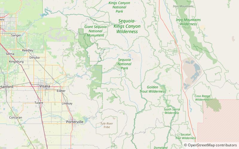
Florence Peak is a mountain located on the Great Western Divide, a sub-range of the southern Sierra Nevada of California. It is located about 6 miles southeast of the community of Silver City and 4.5 miles from the roads end at Mineral King. It marks the southern boundary of Sequoia National Park. On the summit the Sequoia-Kings Canyon Wilderness, the John Krebs Wilderness and Golden Trout Wilderness meet. ()
Elevation: 12437 ftProminence: 1033 ftCoordinates: 36°24'23"N, 118°33'4"W
Address
Sequoia and Kings Canyon National Parks
ContactAdd
Social media
Add
Day trips
Florence Peak – popular in the area (distance from the attraction)
Nearby attractions include: Vandever Mountain, Needham Mountain, Sawtooth Peak, Eagle Lake.


