Weingart Stadium, Los Angeles
Map
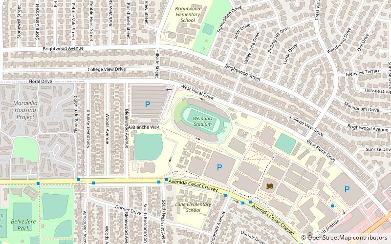
Map

Facts and practical information
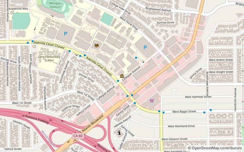
Weingart Stadium is a 22,355-capacity multi-purpose stadium located at East Los Angeles College, in Monterey Park, California. It was built in 1951 at a cost of $3.1 million, and following renovations in 1984 it was renamed after philanthropist Ben Weingart. ()
Opened: 1951 (75 years ago)Capacity: 22.4 thous.Coordinates: 34°2'34"N, 118°9'7"W
Address
1200 W Floral DrMonterey ParkLos Angeles 91754
ContactAdd
Social media
Add
Day trips
Weingart Stadium – popular in the area (distance from the attraction)
Nearby attractions include: Montebello Genocide Memorial, El Mercado de Los Ángeles, Calvary Cemetery, Citadel Outlets.
Frequently Asked Questions (FAQ)
How to get to Weingart Stadium by public transport?
The nearest stations to Weingart Stadium:
Bus
Light rail
Bus
- Metro 68 • Lines: 106 (14 min walk)
- Mednik / Hammel • Lines: 258 (15 min walk)
Light rail
- Atlantic • Lines: L (17 min walk)
- East Los Angeles Civic Center • Lines: L (22 min walk)

 Metro & Regional Rail