El Pino, Los Angeles
Map

Map

Facts and practical information
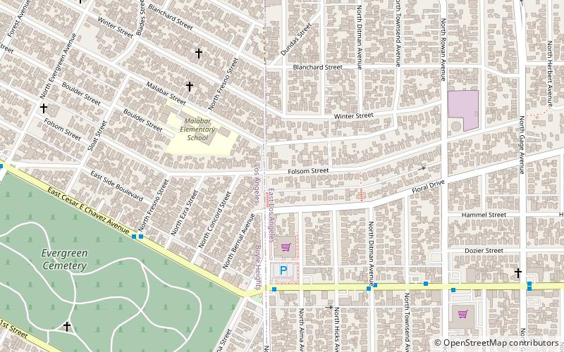
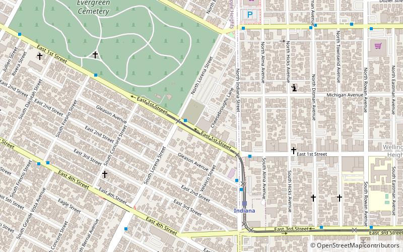
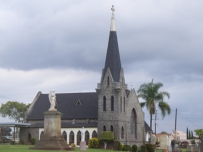
El Pino is a large bunya pine located on the southeastern corner of Folsom Street and N. Indiana Street in East Los Angeles, California. The tree overlooks the Wellington Heights neighborhood of East Los Angeles and the Boyle Heights neighborhood of the city of Los Angeles from atop a small hill. ()
Coordinates: 34°2'36"N, 118°11'31"W
Day trips
El Pino – popular in the area (distance from the attraction)
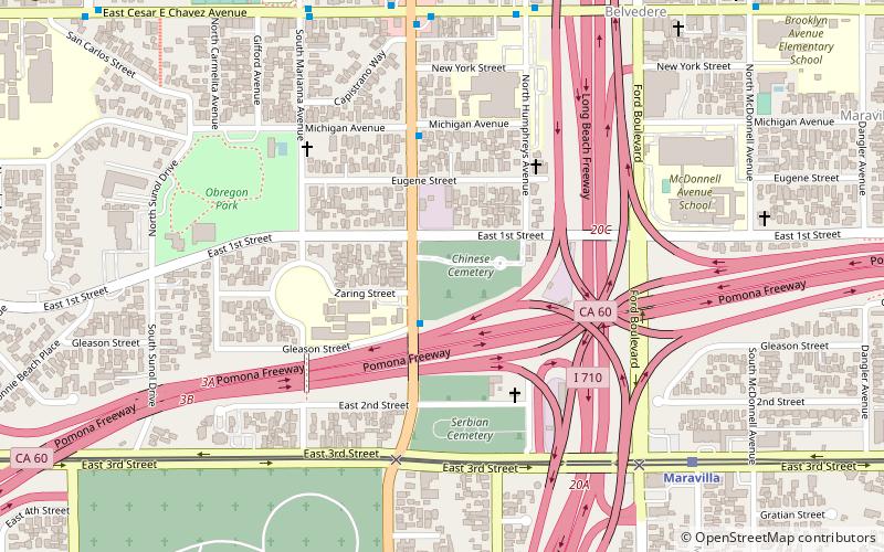
Nearby attractions include: El Mercado de Los Ángeles, Calvary Cemetery, Evergreen Cemetery, Breed Street Shul.
Frequently Asked Questions (FAQ)
Which popular attractions are close to El Pino?
Nearby attractions include Evergreen Cemetery, Los Angeles (11 min walk), Malabar Branch Library, Los Angeles (16 min walk).
How to get to El Pino by public transport?
The nearest stations to El Pino:
Light rail
Bus
Light rail
- Indiana • Lines: L (16 min walk)
- Soto • Lines: L (27 min walk)
Bus
- Metro 605 • Lines: 605 (24 min walk)
- Eastern / Marianna • Lines: 258 (26 min walk)

 Metro & Regional Rail


