Chevelon Canyon Lake, Apache–Sitgreaves National Forests

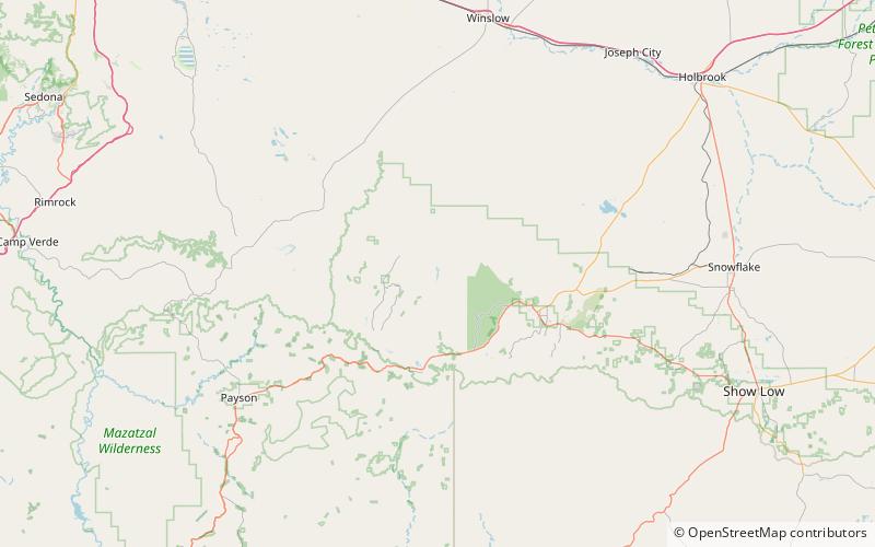
Map
Facts and practical information
Chevelon Canyon Lake is a small reservoir located in northern Arizona, about 28 mi northwest of the town of Heber. It is one in a series of small, canyon-bound lakes located on the Mogollon Rim, collectively referred to as the Rim Lakes. It is said to be among the most difficult to access in the region. It is also the second reservoir on Chevelon Creek, downstream from Woods Canyon Lake. The facilities are maintained by Apache–Sitgreaves National Forests division of the USDA Forest Service. ()
Maximum depth: 80 ftElevation: 6378 ft a.s.l.Coordinates: 34°29'53"N, 110°49'26"W
Address
Apache–Sitgreaves National Forests
ContactAdd
Social media
Add