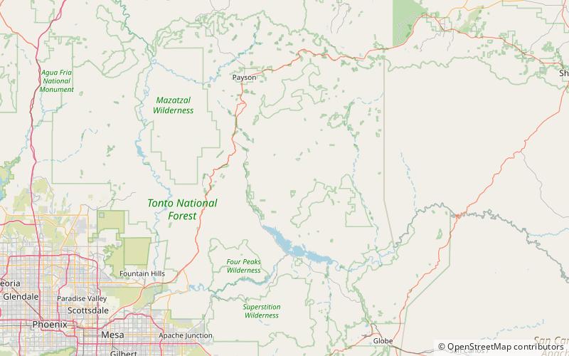
Mistake Peak, Tonto National Forest

Map
Facts and practical information
Mistake Peak is a summit in Gila County, in the U.S. state of Arizona. It has an elevation of 5,930 feet and a prominence of 150 feet. Mistake Peak was likely so named because it was mistaken by surveyors for another summit. Mistake Peak has been noted for its unusual place name. ()
Elevation: 5930 ftProminence: 150 ftCoordinates: 33°55'3"N, 111°10'1"W
Address
Tonto National Forest
ContactAdd
Social media
Add
Day trips
Mistake Peak – popular in the area (distance from the attraction)
Nearby attractions include: Sierra Ancha.
