Sierra Ancha, Tonto National Forest
Map

Gallery

Facts and practical information
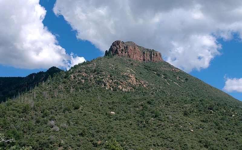
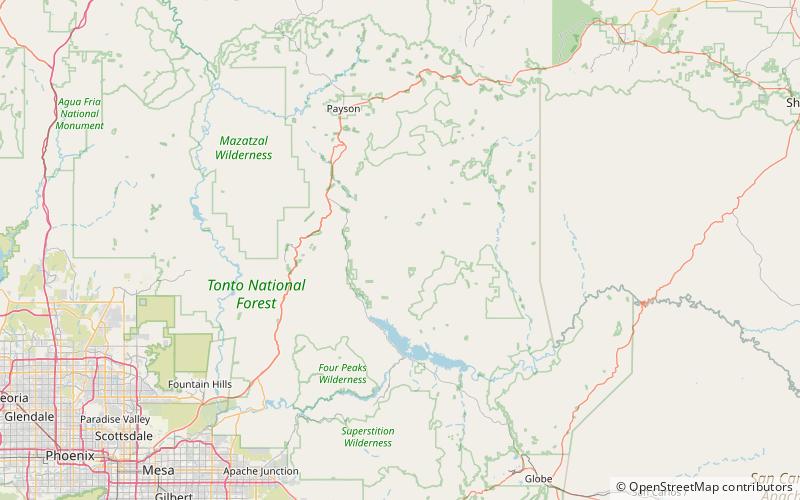
The Sierra Ancha is a mountain range in Gila County, in central Arizona. It lies between Roosevelt Lake to the south, the Tonto Basin to the west, Cherry Creek to the east, and Pleasant Valley to the north. The range is one of several, including the Bradshaw Mountains, Mingus Mountain of the Black Hills, and the Mazatzal Mountains, which form a transitional zone between the lowland deserts of southern Arizona and the Colorado Plateau of northeastern Arizona. The highest point in the range is Aztec Peak, at an elevation of 2345 m. ()
Address
Tonto National Forest
ContactAdd
Social media
Add
Day trips
Sierra Ancha – popular in the area (distance from the attraction)
Nearby attractions include: Mistake Peak.

