Downtown Waterbury Historic District, Waterbury
Map
Gallery

Facts and practical information
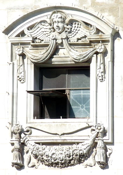
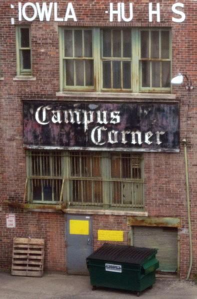
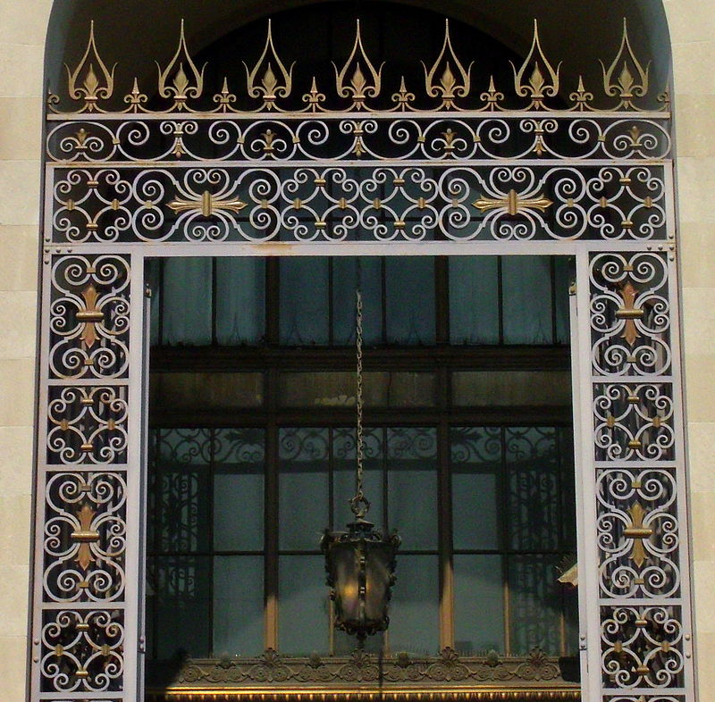
The Downtown Waterbury Historic District is the core of the city of Waterbury, Connecticut, United States. It is a roughly rectangular area centered on West Main Street and Waterbury Green, the remnant of the original town commons, which has been called "one of the most attractive downtown parks in New England." ()
Coordinates: 41°33'24"N, 73°2'33"W
Address
Central Business DistrictWaterbury
ContactAdd
Social media
Add
Day trips
Downtown Waterbury Historic District – popular in the area (distance from the attraction)
Nearby attractions include: Holy Land Monument, Brass Mill Center, Palace Theater, Timexpo Museum.
Frequently Asked Questions (FAQ)
Which popular attractions are close to Downtown Waterbury Historic District?
Nearby attractions include Basilica of the Immaculate Conception, Waterbury (2 min walk), Mattatuck Museum, Waterbury (2 min walk), Enoch Hibbard House and George Granniss House, Waterbury (3 min walk), Waterbury Municipal Center Complex, Waterbury (5 min walk).
How to get to Downtown Waterbury Historic District by public transport?
The nearest stations to Downtown Waterbury Historic District:
Bus
Train
Bus
- West Main & Leavenworth • Lines: 417, 422, 422B, 428, 431, 432, 445, 446Ex, 446X, 447X, 460X (1 min walk)
- Rowland Government Center • Lines: 411, 412, 413, 413/412, 421, 421/418, 425, 426, 426F, 426M, 428/425, 433, 441, 442, 442/441, 442M, 444 (2 min walk)
Train
- Waterbury (8 min walk)


