Fort Stamford Site, Stamford
Map
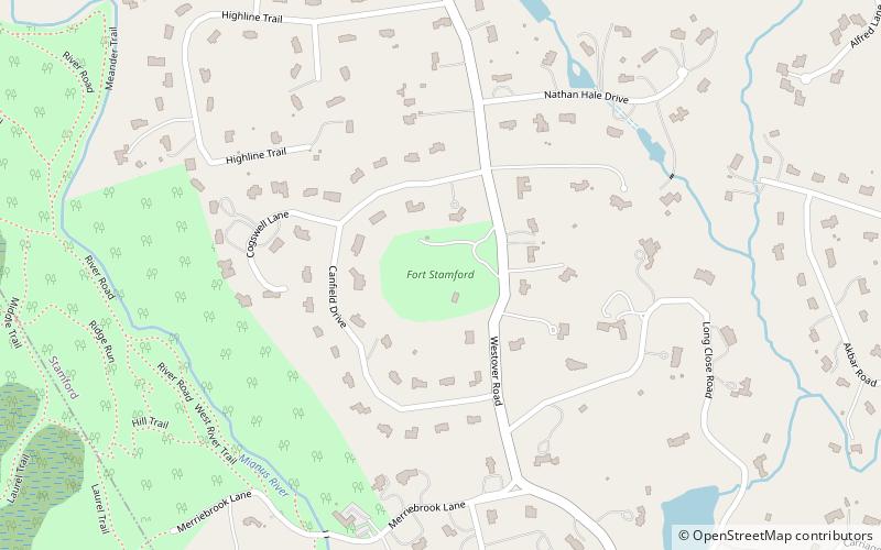
Map

Facts and practical information
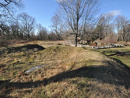
The Fort Stamford Site, site of Fort Stamford, is a public park at 900 Westover Road in the Westover neighborhood of Stamford, Connecticut. It was listed on the National Register of Historic Places in 1975. It is the site of the archaeological remnants of a military earthworks erected during the American Revolutionary War. The fort's location gave a clear view of the Mianus River and Long Island Sound. ()
Built: 1781 (245 years ago)Elevation: 200 ft a.s.l.Coordinates: 41°5'5"N, 73°34'44"W
Address
Newfield - Westover - Turn of RiverStamford
ContactAdd
Social media
Add
Day trips
Fort Stamford Site – popular in the area (distance from the attraction)
Nearby attractions include: Stamford Town Center, Stamford Museum & Nature Center, Fish Church, Parc Stamford.
